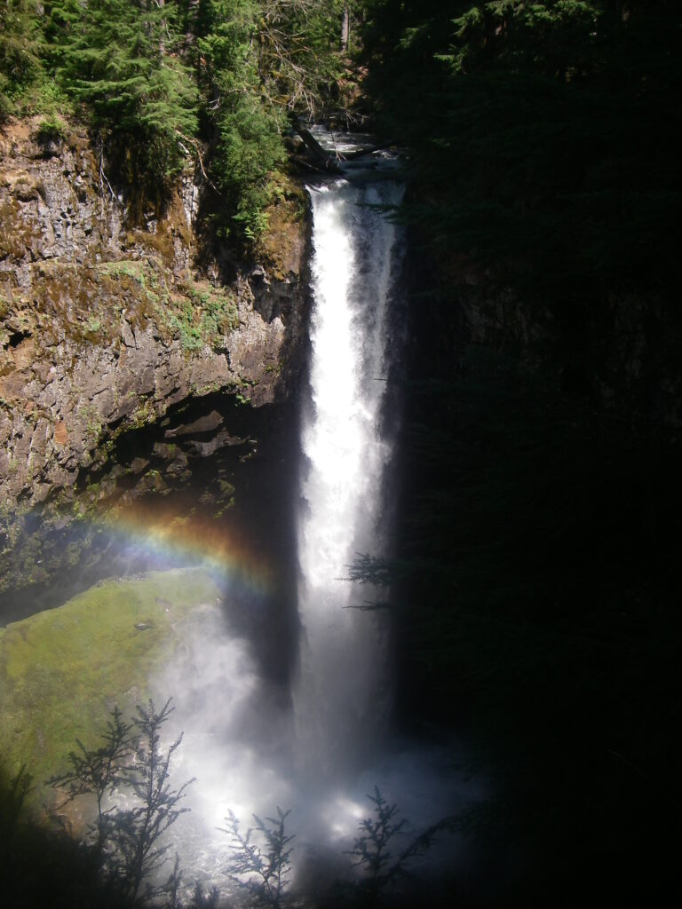
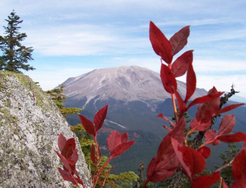
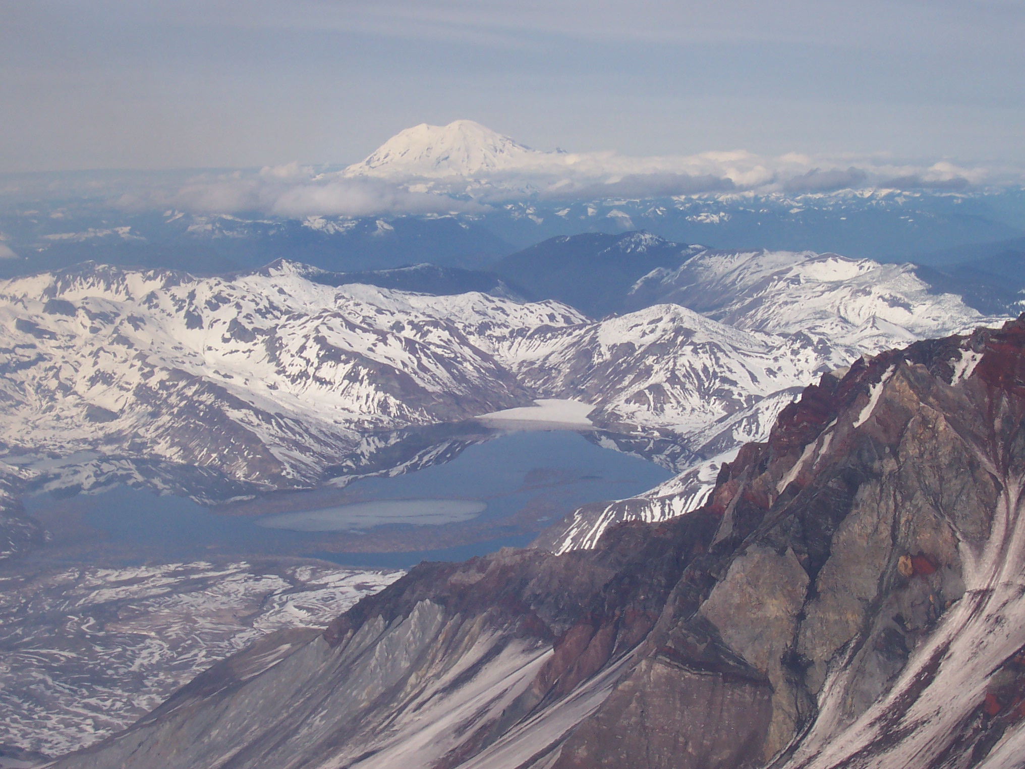
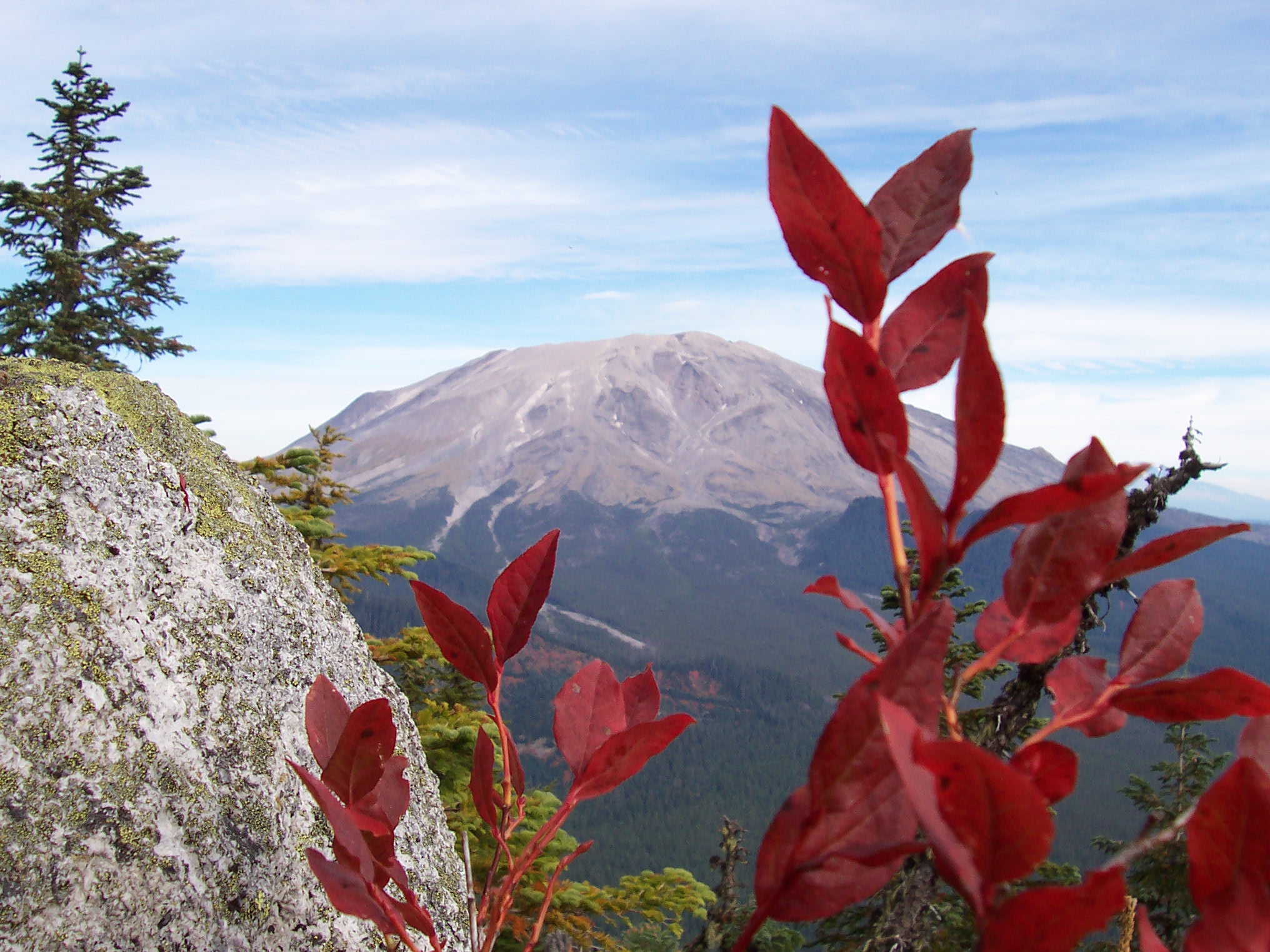
Now that spring’s warmth has done its work in pushing the winter’s snows up from our valleys it’s a great time to resume the exploration of our local haunts. Last fall, we began a survey of the Lewis River, with the goal to trace its course from an icy headwaters high on Mt. Adams to a lazy confluence with the Columbia River. From its origins and growth, through a number of stunning waterfalls, we have seen our Lewis River develop from a tiny, trickling snow stream into a legitimate river. Now, we will take a look at a section of river perfectly suited for exploration on foot. This section provides a great opportunity to immerse ourselves into the three things that define our region: rock, water, and abundant life. Now, we’ll take a look at the Lewis River Trail.
The Lewis River Trail, known as the 31 Trail on Forest Service maps, is a 15 mile path open to hikers, mountain bikers, and horse riders. The trail’s upstream terminus is on the Forest Service 90 road very close to the confluence of Quartz Creek and the Lewis River, say 65 miles or two hours east of Woodland. The opposing trailhead lies near Curly Creek falls, one of many beautiful waterfalls within the Gifford Pinchot National Forest. In between these two trailheads is a section of iconic Pacific Northwest river impossible to ingest within a single day.
The upper six miles of the trail services the famous Upper, Middle, and Lower falls on the river. This part of the trail, particularly near Lower Falls campground, sees heavy use by day hikers and those camping at Lower Falls campground. The lower nine miles, between the trail’s crossing of the 90 road and its terminus at Curly Creek Falls, sees comparatively lower use and is an ideal section of trail to experience archetypical Washington forest.
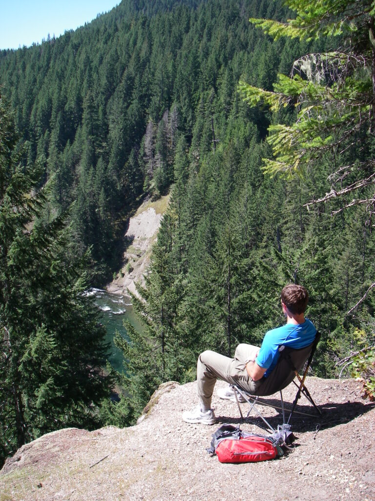
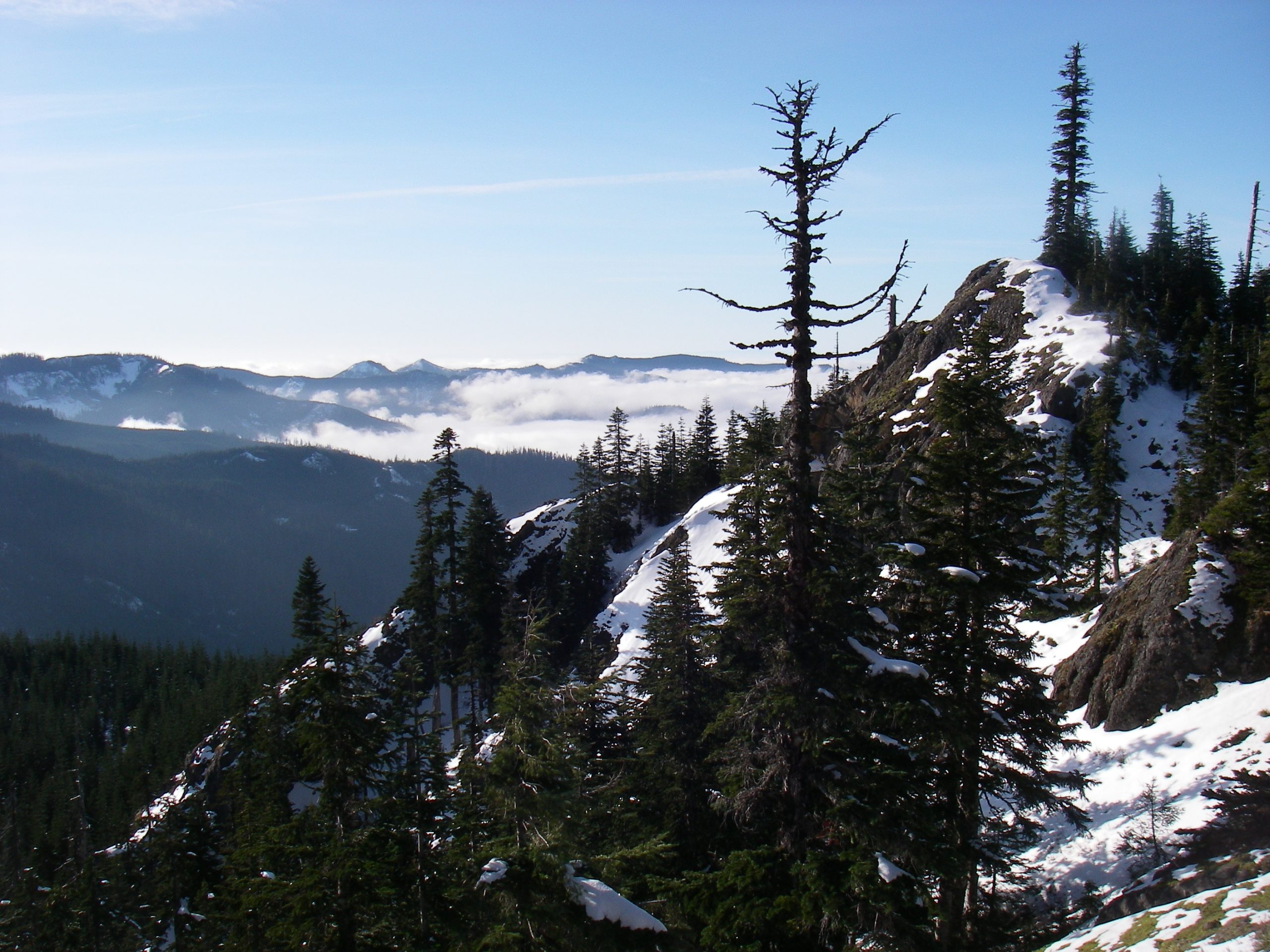
For the first two miles west from the 90 road the Lewis River Trail meanders uphill, the river gorge here being unsuited to a hiking path. This quiet section of trail ends as you come upon the Lewis River bluffs. The bluffs are a pair of sheer cliffs which completely dominate the river far below. The trail swings quite close to the northern cliff’s edge. On a sunny day, the cliff edge provides a warm place for a break, where you can gaze across the gorge and ponder the geological history of our region represented in the striations of the opposing cliff.
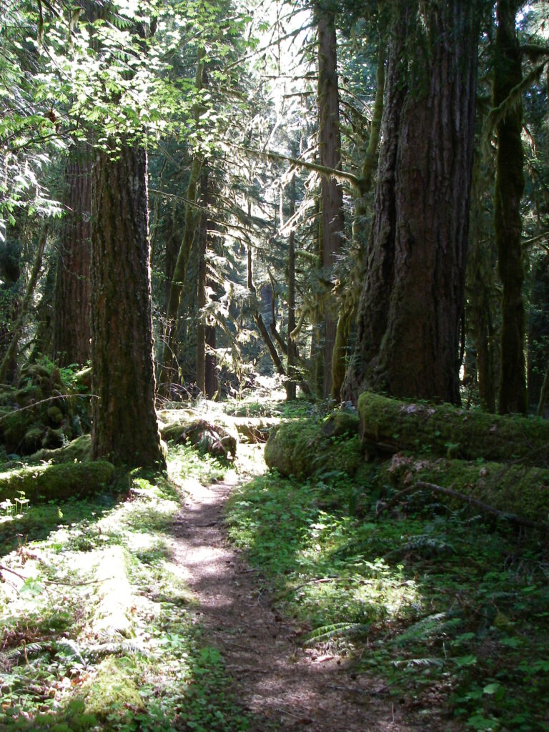
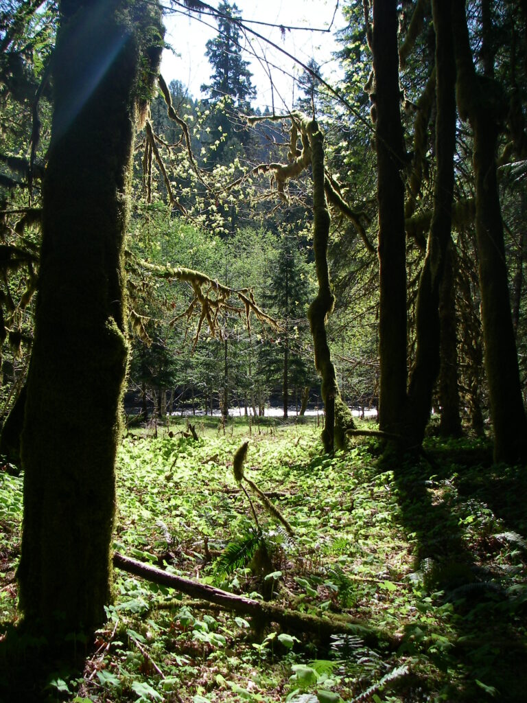
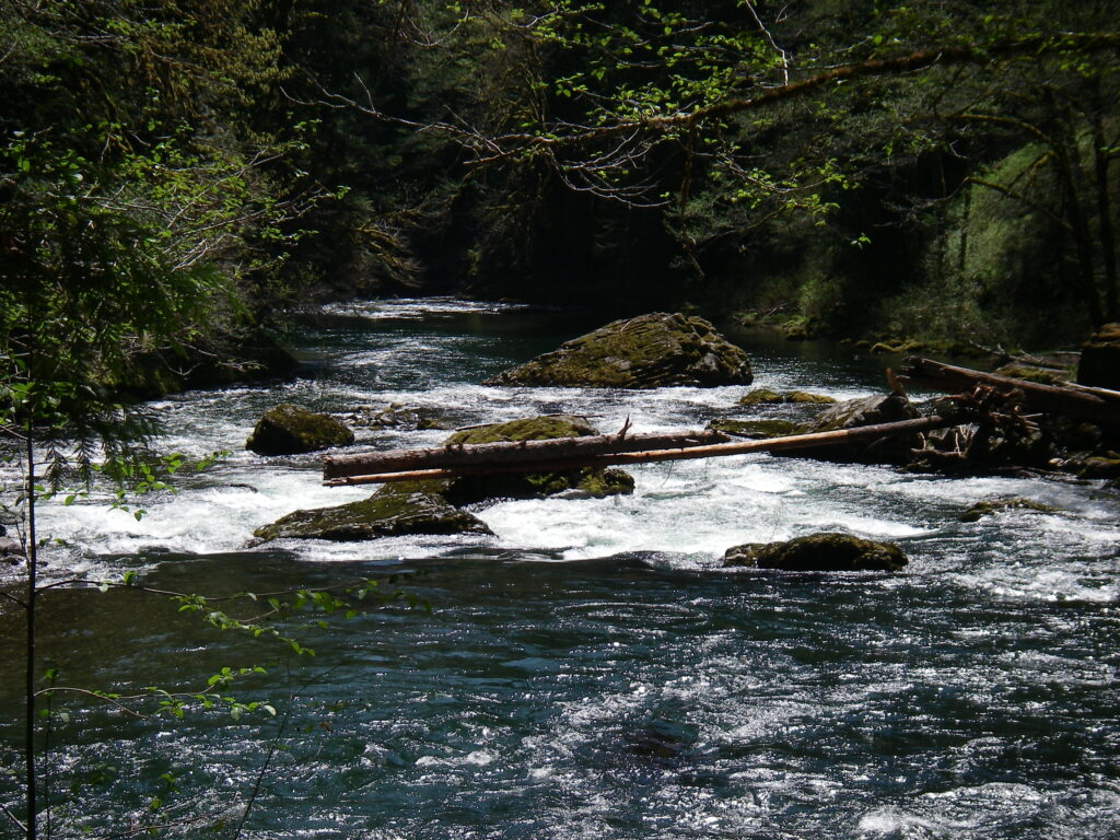
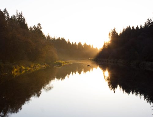
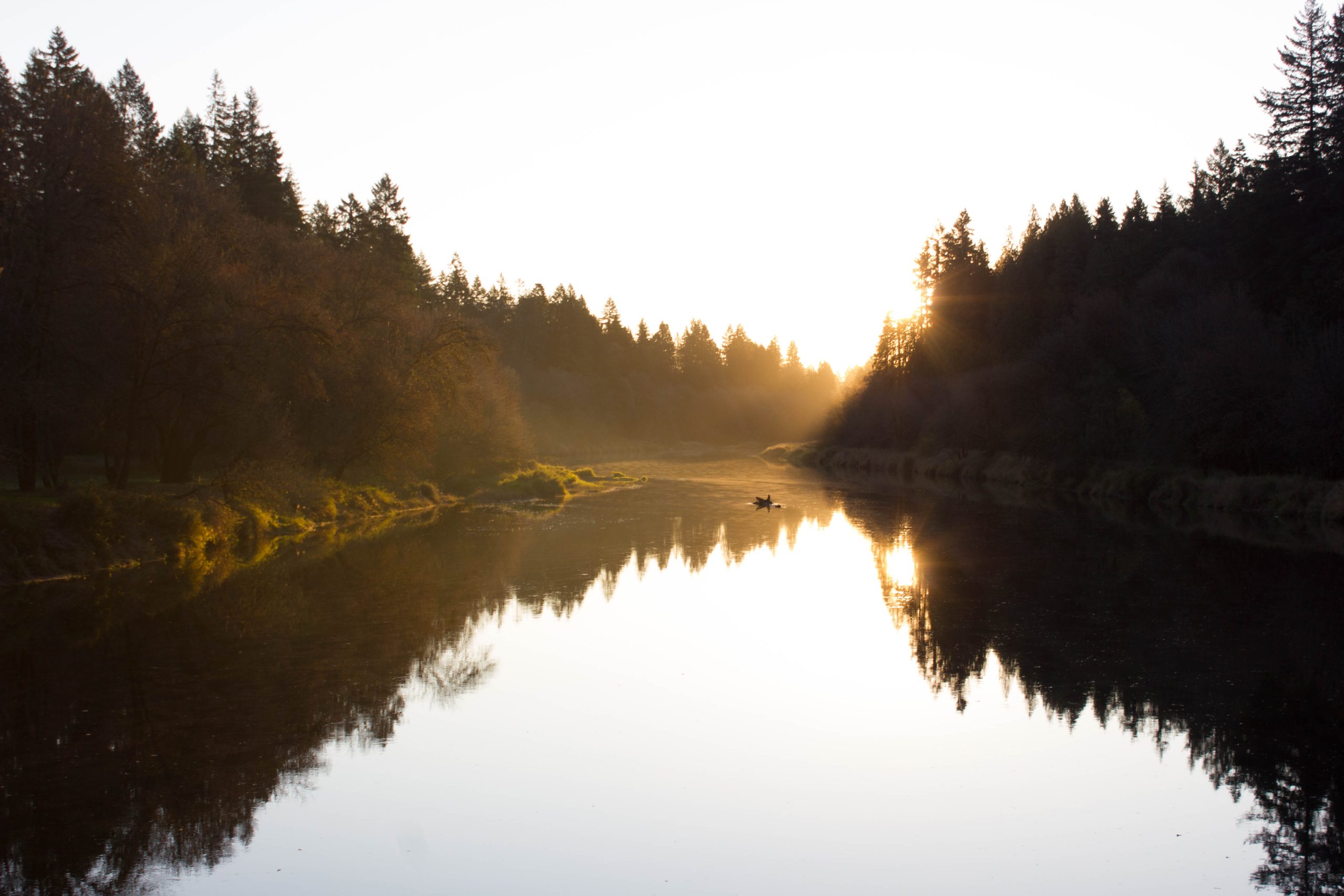
Beyond the bluffs, the trail quickly descends to the river edge. Within a mile of leaving the cliff-side rest stop you will find yourself enjoying a relatively flat trail and river view. This middle section of the trail alternates between views of the Lewis’ rapids and thick forest. I found myself pausing in this section to wonder just how much rain does this part of the Cascades receive? The thick trees, large ferns, and heavy moss appear akin to the temperate rain forests found on the western slopes of the Olympic Mountains, reminding me of the Hoh River valley. Though I doubt the precipitation near the Lewis compares to the over 140 inches received by the Hoh, the likeness between the two river’s forests gave me pause.
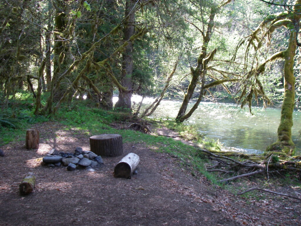
By mile five, the trail begins spending more time alongside the river bank, which results in the diversification of the homogenous coniferous forest into patches of deciduous trees. The thinner canopy of the leafy, river-side trees allows more sunlight to hit the trail, giving a decidedly warmer mood to the path in these areas. A little after mile six you will approach Bolt Camp. Sadly, a fallen tree has destroyed the quaint shelter here. Thankfully, there are five campsites along the trail near Bolt Camp, including the camp itself. These unofficial campsites all have wide, flat tent areas, fire rings, and easy river access.

The Lewis River Trail provides an excellent survey of what our Cascade river valleys have to offer. Short enough to accomplish in a day, complex enough to warrant spending a night, no time in the Lewis River Valley is wasted. If you have a chance before the snows hit this winter, come absorb some of our Land’s beauty. It will create a memory that will call you back again and again.

