
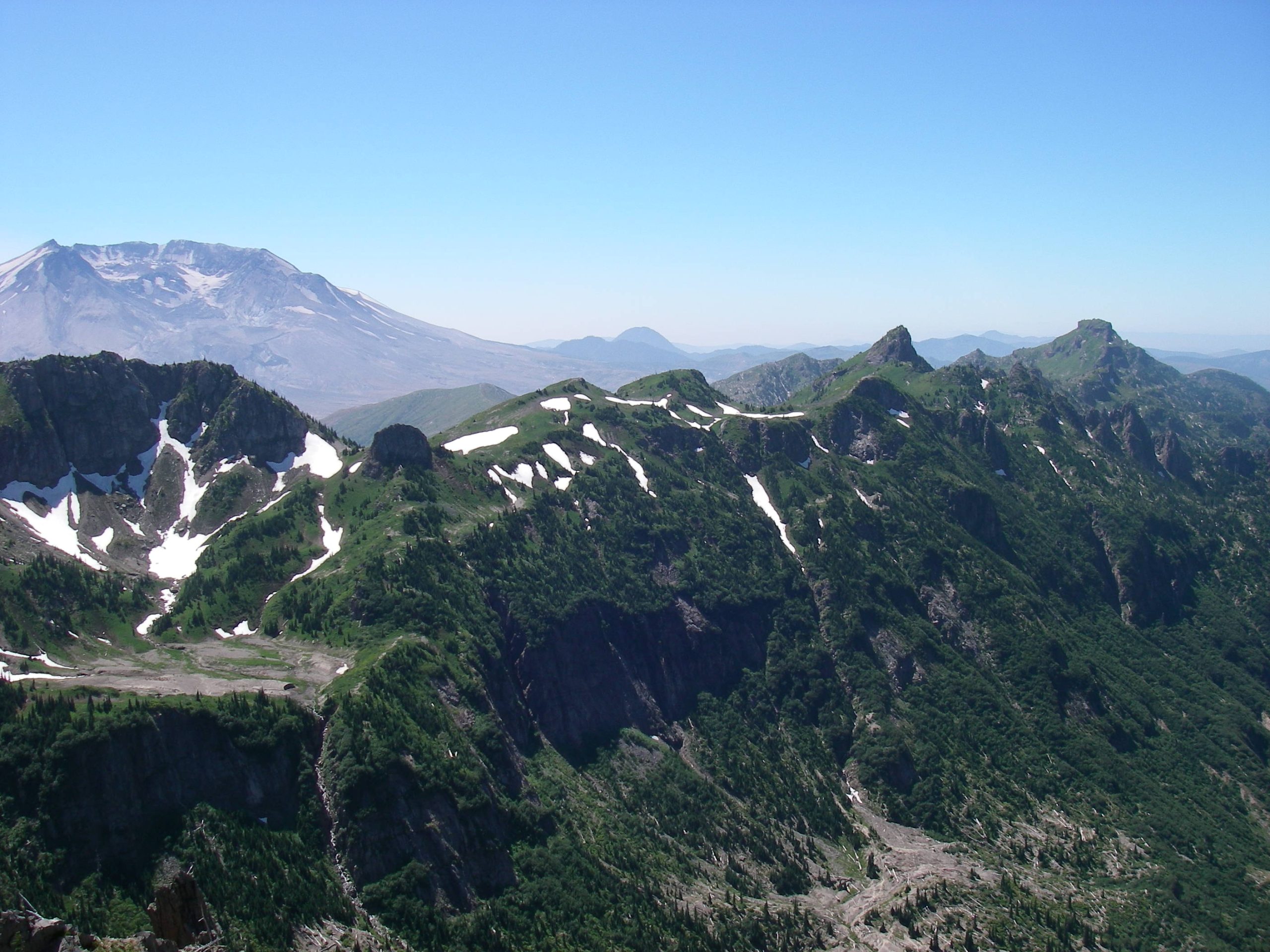
The Pacific “Ring of Fire” is a descriptive term that refers to the fact that the Pacific Ocean’s perimeter is a geologically active area that endures frequent volcanic eruptions and earthquakes. This violent ring runs right through the Pacific Northwest, making volcanic activity one of the most influential factors in shaping our topography. In the northwest, any mention of volcanism immediately conjures images of Mt. St. Helen’s catastrophic May 1980 eruption. That event, however, was actually only one of many in our history. Besides Mt. St. Helen’s previous eruptive period ending in 1857, Mt. Baker produced a small eruption in 1843 and a Lahar flow in 1891. Mt. Rainier also had a long period of eruptions ending in 1854. More locally, Mt. Hood had a series of eruptions approximately 200 years ago that produced some of its current rock formations.
Though we may seldom pause long enough to see it, evidence of this volcanic activity permeates the Cascade Mountains. The Ape Caves, and other lava tubes on St. Helen’s south side, are remains of lava flows that occurred within the last few thousand years. Old lava flows, large and small, are also seen along Highway 503 just past the Swift Power Canal, along the 54 Road near Trapper Creek Wilderness, and just southeast of Indian Heaven Wilderness. The collection of minor mountain peaks that form the Indian Heaven Wilderness once oozed lava on a regular basis. The multiple rock summits of Goat Rocks Wilderness are actually the heavily eroded remains of an ancient stratovolcano. This giant volcano, in its youthful prime, once dominated the landscape as Adams, Rainier and St. Helens do now.
Bare Mountain, just a mile northwest of the Trapper Creek Wilderness, is the site of an ancient volcano. At 4,300 feet in height and with a base just under a mile wide, Bare Mountain stands a carbon copy of dozens of other small peaks throughout the Gifford Pinchot National Forest. What sets Bare Mountain apart is its caldera, rare within the volcanic peaks of the Gifford Pinchot,. A caldera is hole, a vertically oriented crater, in the very summit of a volcano. A caldera’s appearance is that of a perfect scoop of ice cream taken out of the summit of a perfectly shaped mountain. They are formed when a volcano’s inner magma chamber empties during an eruption, leaving a void that the volcano’s summit then collapses into. Though a number of small peaks in the Gifford Pinchot have some manner of a crater formation in their physique, Bare Mountain is one of the few true calderas.
Crater Lake, in southern Oregon, is another, more famous, example of a caldera. Crater Lake is the result of the eruption of Mt. Mazama around 5600 BC. At a mere 300 yards across, Bare Mountain’s caldera is a mere 1/30th the size of Mt. Mazama’s; small enough that it could be an architect’s model of Crater Lake. Before its eruption, at a height of 12,000 feet, Mt. Mazama was once one of North America’s largest stratovolcanos . Currently, Crater Lake’s rim has an average elevation of about 8,000 feet. Though Crater Lake is a must see, it requires a several day trip for an adequate visit. Bare Mountain, a ready-made, though lake-less, scale replica of the erupted Mt. Mazama, is an hour and a half from Woodland.
As a hike, Bare Mountain is, well, unchallenging. If you are unfamiliar with the local network of roads, finding it will be the greater challenge. The Gifford Pinchot is a maze of winding, crisscrossing, often decaying logging roads. Three of these roads, the 58, the 5407, and the 311, meander along the northern, eastern, and southern flanks of Bare Mountain. The best way to find these roads, and Bare Mountain, is to purchase either a “Mt. St. Helens National Volcanic Monument and Administrative Area” or a “Mt. Adams Ranger District” map, both by the Gifford Pinchot National Forest. On either map, look about two air miles northwest of Soda Peaks Lake, just outside of Trapper Creek Wilderness, to find Bare Mountain. These maps are sufficient, both topographically and in road detail, for navigation. Note, though, that the Forest Service has a nasty habit of removing logging roads from a map once they have been officially decommissioned, instead of when they have physically returned to nature. Thus, occasionally, a small side road you see on the ground is not shown on the map.
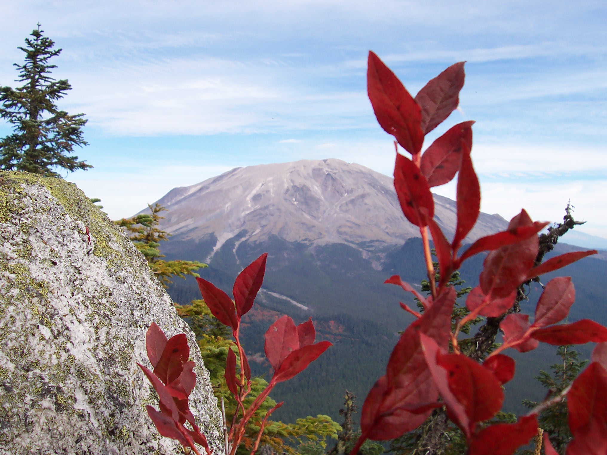
Gaining Bare Mountain’s summit, on the western caldera rim, is a matter of parking where you see fit and walking uphill. On the map, the eastern approach looks inviting with its short road to summit distance and a gentle slope. Unfortunately, frustratingly tight, interlocked young trees make this route more difficult than the map lets on. The northern approach is slightly longer with all of 1/2 to 3/5 of a mile from the 311 road to the rim, depending on where you park. The shortest and steepest route is from the south. For this route, park on the 5407, look up the steep rocky slope to the southern rim, pick your path, and climb. You’ll gain about 300 feet of elevation along the way. Whichever way you choose to gain the rim, the true summit, with its viewpoint and rock formation, will be to your west.
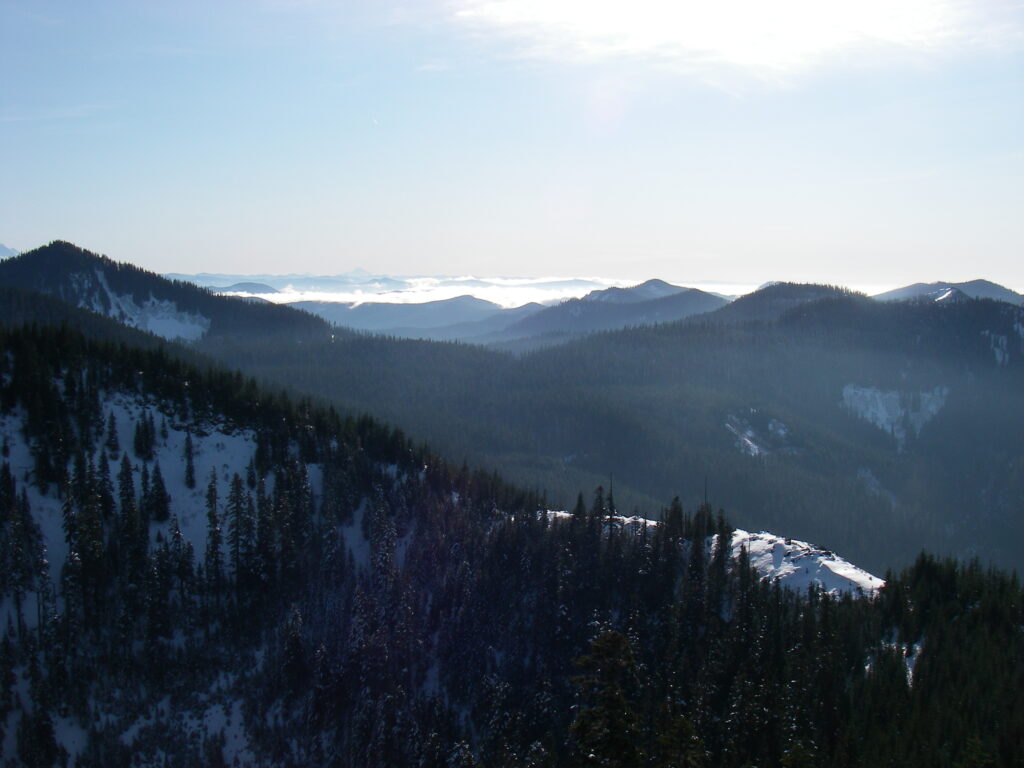
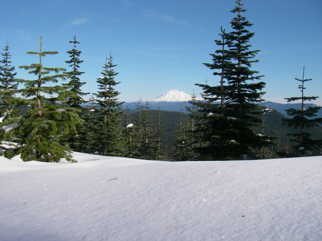
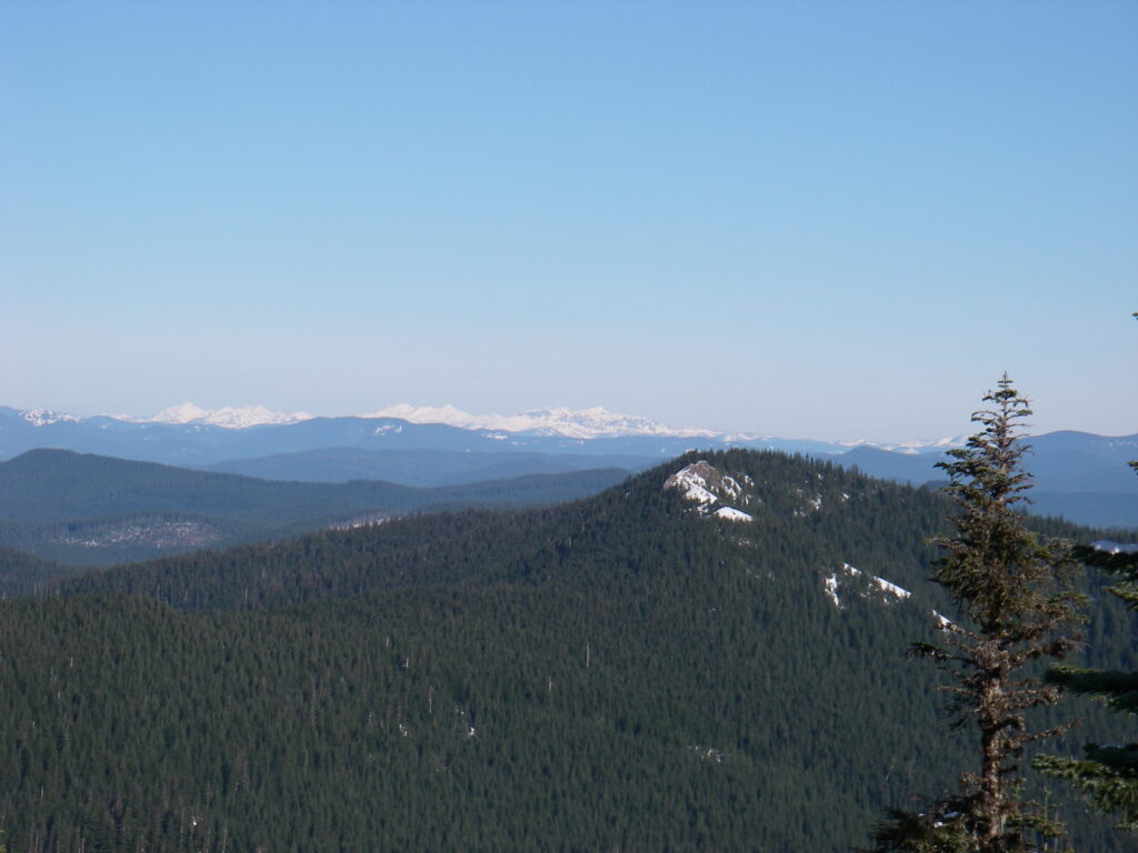
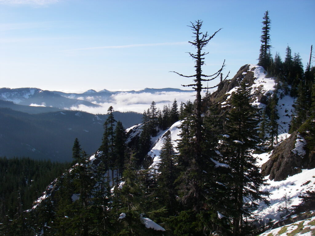
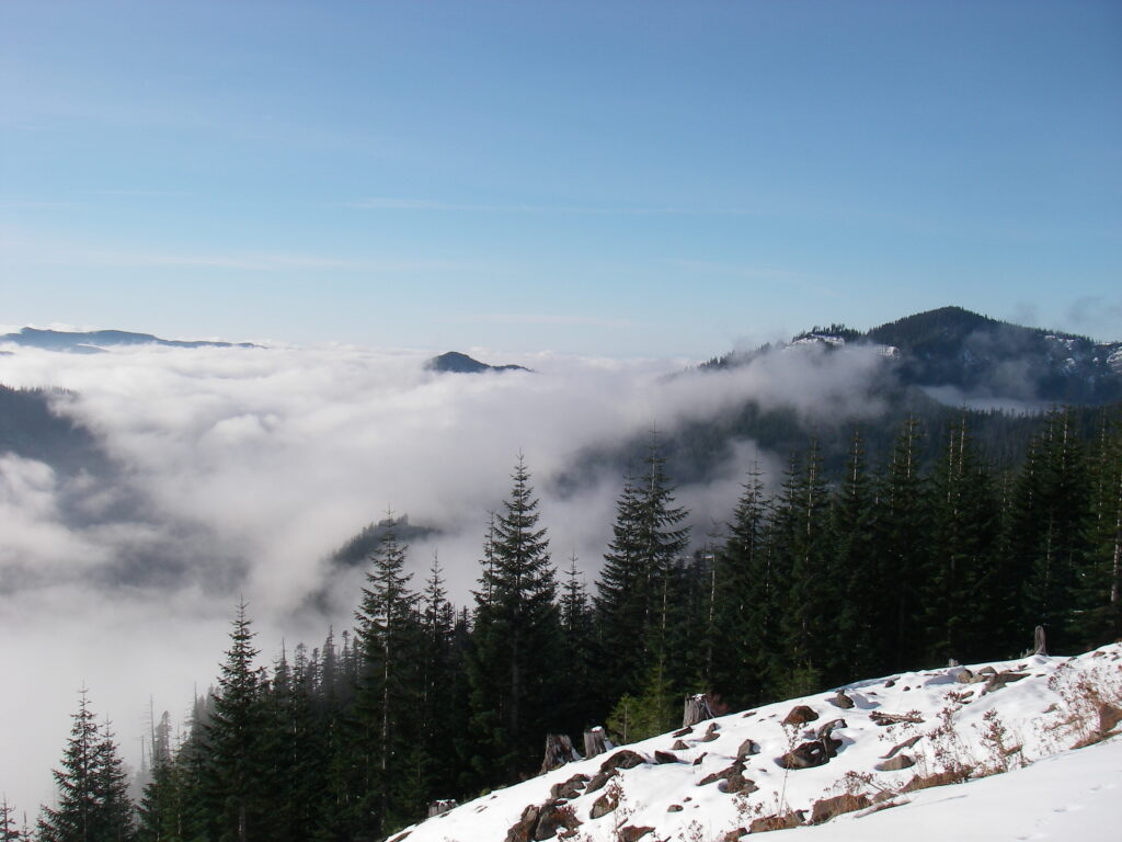
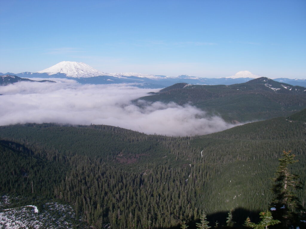
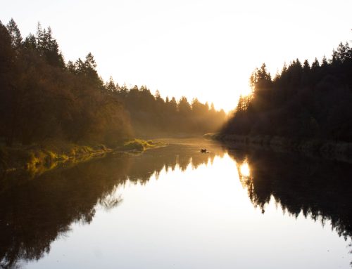
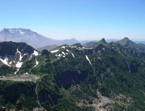
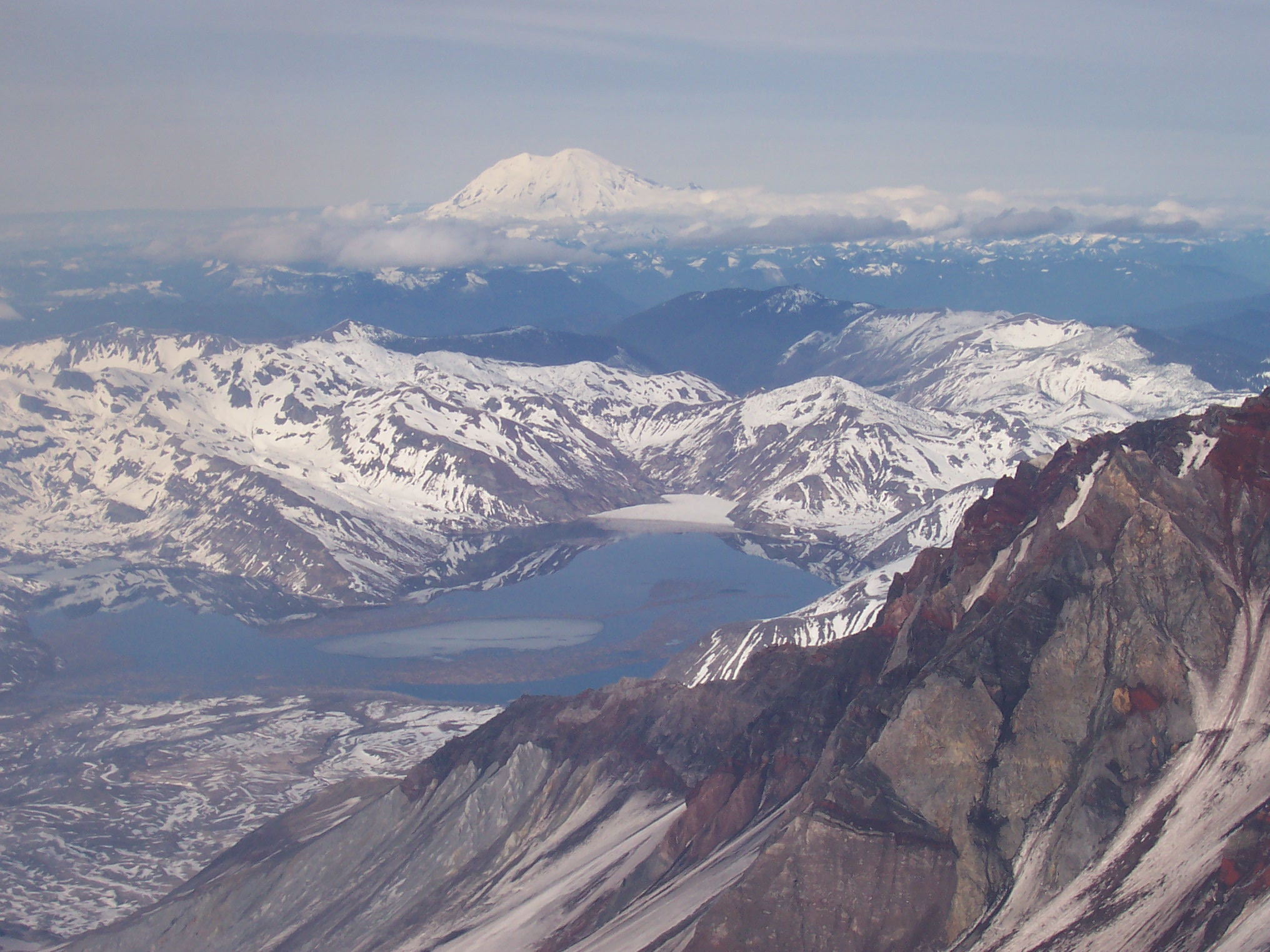
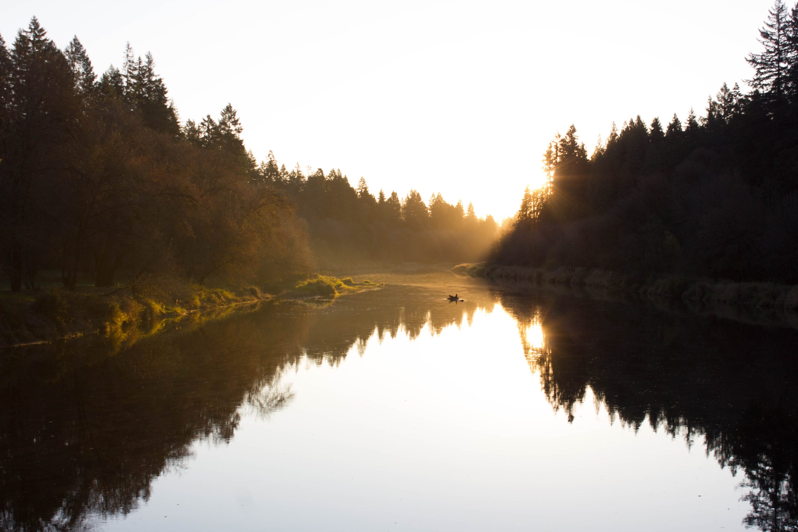
Bare mountain is what I call a “five mountain hill.” From its summit, on a clear day, you can see all five local volcanic peaks: Mt. St. Helens, Mt. Adams, Mt. Hood, Mt. Rainier, and Mt. Jefferson. The caldera rim is a mix of trees, small viewpoints, and the summit rock formation. Just a few hundred yards from the summit rock, a shoulder of the mountain reaches west and produces yet another of the Gifford Pinchot’s perfect alpine meadows. Though walking along the rim provides one with more than the usual great views of the Cascade Range, looking at the old caldera, and then also at the trees, flowers, and animals that now make their home in and around it, you can see how life reclaims rock after volcanic violence.
