The Trapper Creek Wilderness is one of five Wilderness Areas within the Gifford Pinchot National Forest. These five areas, and many others like them across the country, were created under the 1964 Wilderness Act. The intent of the act is to preserve some parts of federal land as “untrammeled by man, where man himself is a visitor who does not remain.” In an effort to allow natural ecosystems to continue with as little human influence as possible, designated wilderness areas allow no roads, large group camping, construction, nor any vehicle use. In contrast to the extensive network of paved and gravel logging roads throughout the majority of the Gifford Pinchot, the only permanent infrastructure in these five Wilderness Areas are foot paths. Two of the areas, Goat Rocks and Tatoosh, lie at the northern edge of the Gifford Pinchot, closer to Mt. Rainier than Mt. St. Helens, These two areas are both well known and well used amongst the backpacking and skiing crowd. Two more, Mt. Adams and Indian Heaven, lie in the eastern side of the forest. The smallest of all five, Trapper Creek, sits just north of Carson, Washington, accessible from western Clark and Cowlitz Counties by a two hour drive.
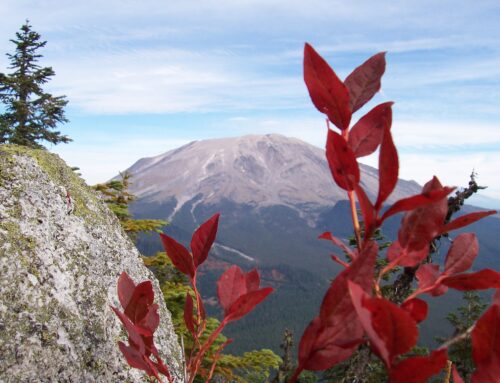
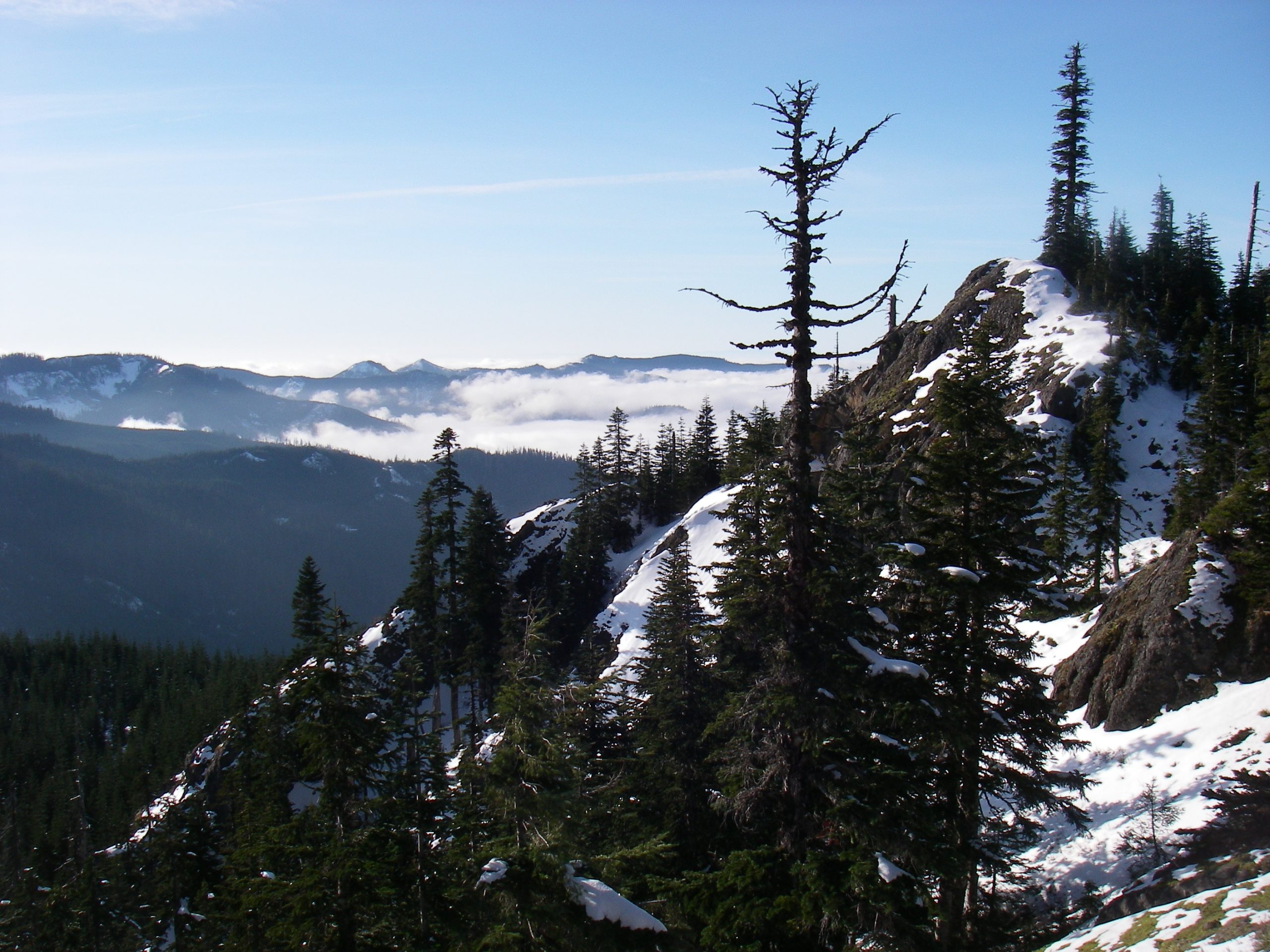
Centered on the southeast draining Trapper Creek watershed, the Trapper Creek Wilderness boundary follows a horseshoe-shaped series of ridges that nearly encompass the creek. A mix of panoramic viewpoints, sub-alpine creeks, old-growth trees, steep hill sides, huckleberry, and lots of green, the Trapper Creek Wilderness perfectly captures the high forest of the southern Cascades. With clear skis, heat, beautiful trails, and views in the summer and heavy snowfall, decent road access, and marked trails in the winter, the Trapper Creek Wilderness provides a year-round forest experience.
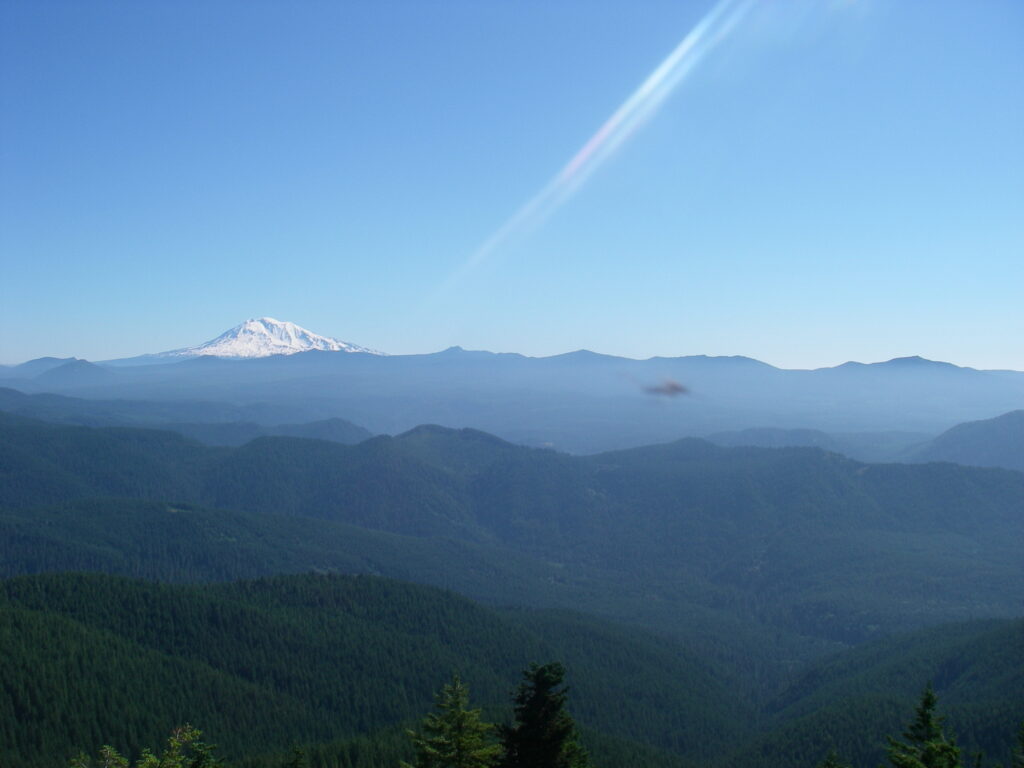
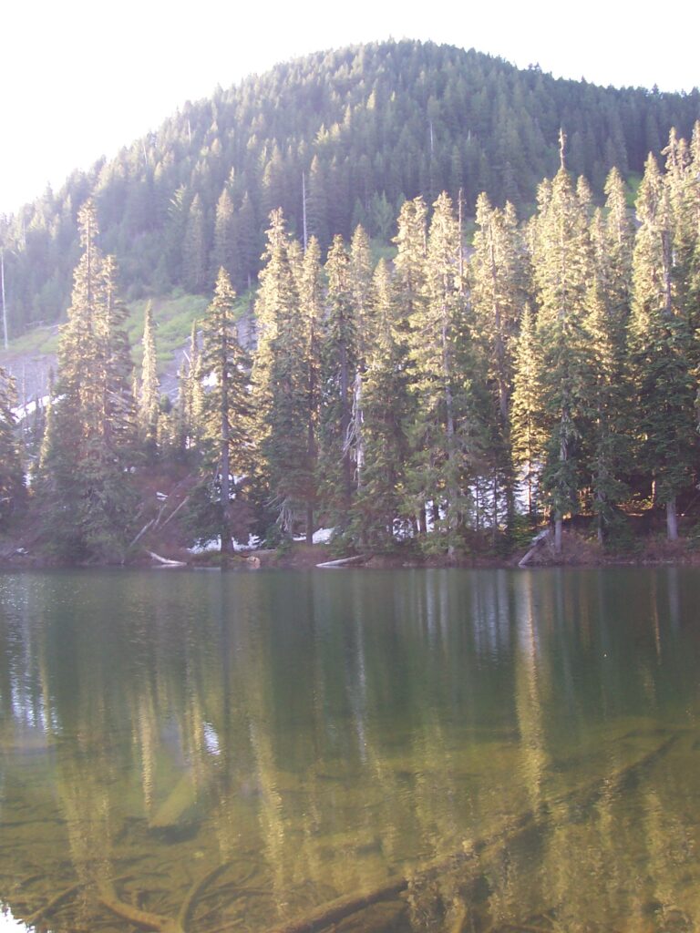
Soda Peaks Lake is one of the highlights of the Trapper Creek Wilderness. This small, sub-alpine lake sits in a bowl formed by the Soda Peaks. The Soda Peaks themselves are two small mountains that lie near the western boundary of the wilderness. Both the lake and the peaks are accessed by foot by a one and a half mile trail that departs from the intersection of the 54 (Carson to Chelatchie road), and 5407 roads. The trail begins in an old clearcut, but soon enters woodlands, steepening considerably as it climbs up the westernmost spur of the Soda Peaks. The trail then quickly crosses the saddle between the Soda Peaks then begins a short descent to Soda Peaks Lake. There is a viewpoint along the trail, when you first gain the saddle, that provides views of Mt. Adams.
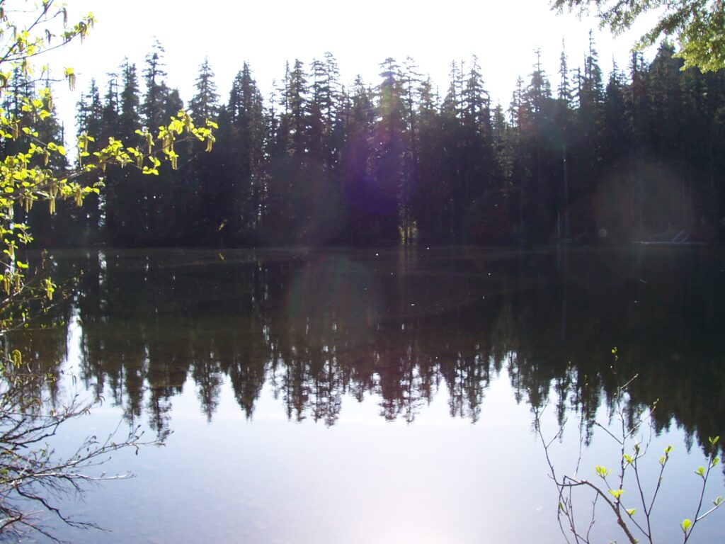
Soda Peaks Lake is encircled by the ridge line of the adjacent peaks, with dense forest right up to its shores. A popular campsite lies at the northeast outlet of the lake, where the lake sends down its contribution to the Trapper Creek watershed. There other several other unofficial campsites along the water’s edge. Huckleberries are present when in season. A great plan to visit the Soda Peaks Lake is to use the lake as a relaxing base camp, enjoying the sounds produced by the creek, the ravens, and the wind. From the lake one can do short day hikes up the Soda Peaks. A hardy hiker, or a masochist unsatisfied with the lack of physical challenge presented by the western approach to the lake, may also choose to follow the #133 Trail east out of the lake and downhill to Trapper Creek. This trail will eventually arrive at Government Mineral Springs. Be forewarned, though, that while this additional section of trail is a mere 2.5 miles in length, it involves nearly 3,000 feet of elevation gain.
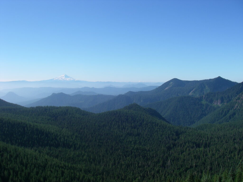
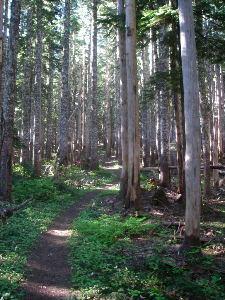
If views are what you seek, then Observation Peak is the place to be. The Observation Peak trail begins just outside the northern edge of the Trapper Creek Wilderness, on the 58 road near Sister Rocks. Park on the eastern side of the road in the small pullout and look to the south for the trailhead sign. Follow the trail due south, along a north/south running spur that gains 500 feet in one mile. The first mile of trail is a fairly easy hike that follows the gentle slope and includes a few easy switchbacks. The best time to hike this section of trail is just after sunrise or just before sunset as the more sparsely vegetated eastern Cascade forests allow amble sunlight to penetrate the evergreen canopy and illuminate vegetation on the forest floor.
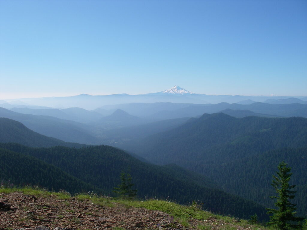
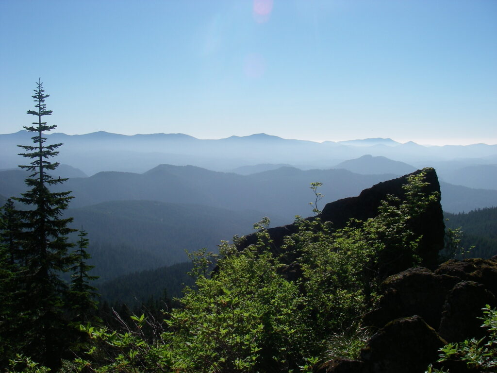
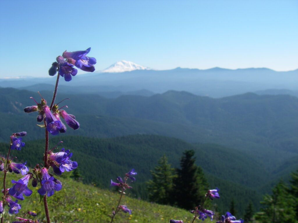
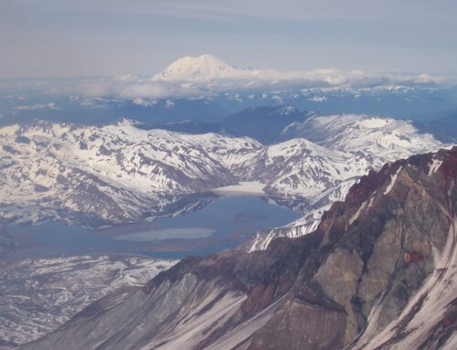
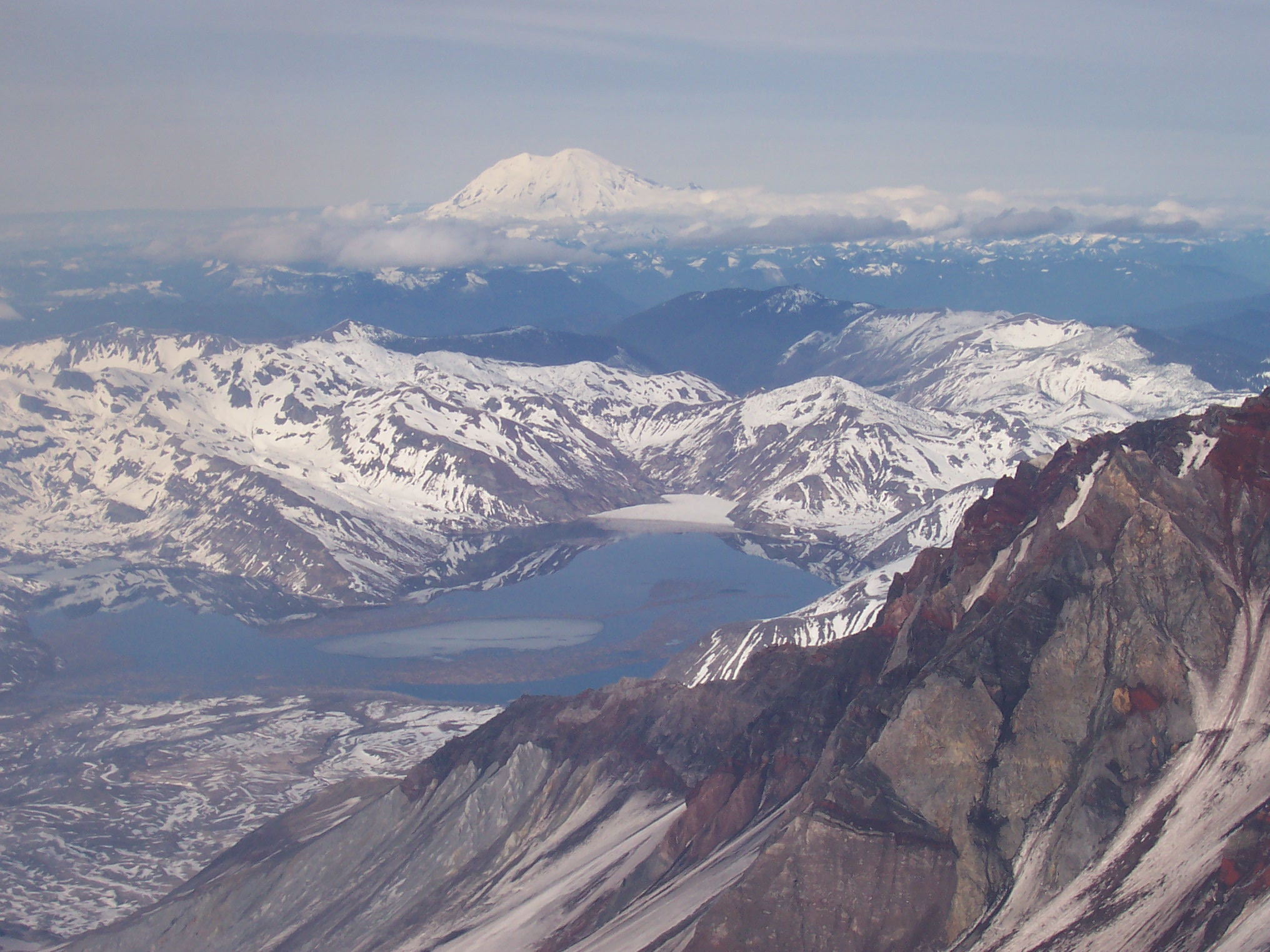
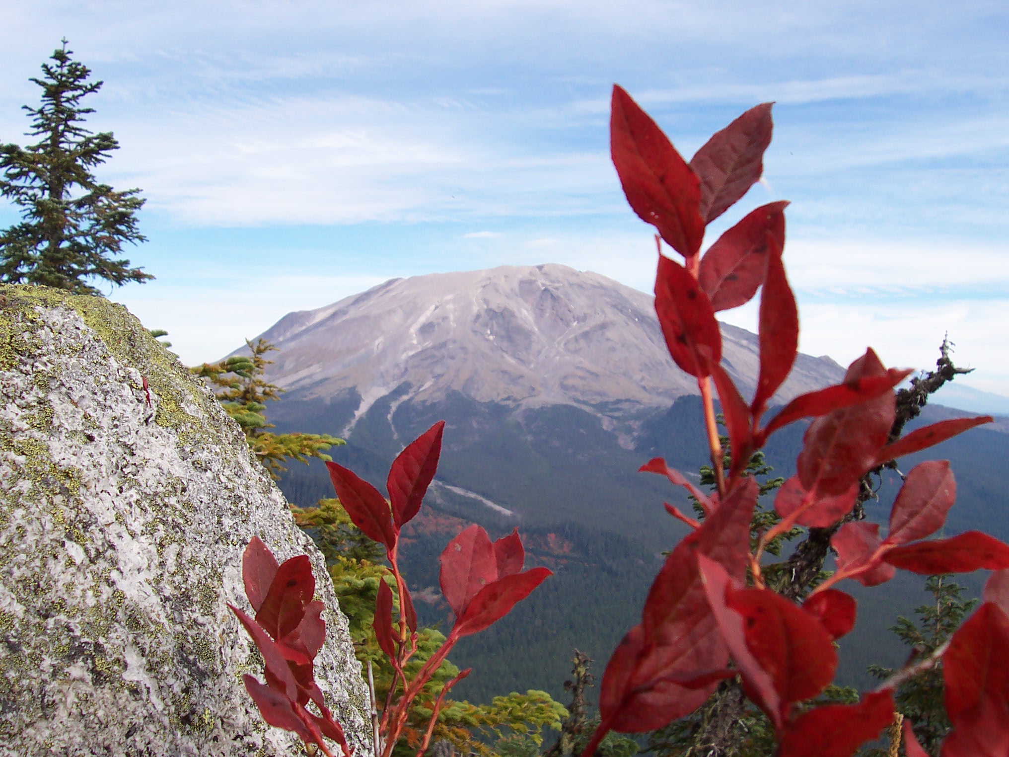
After one mile the trail gains a small saddle and begins its first decent. At the saddle there is a small viewpoint to the east, about 30 yards from the main trail. To the west there is a less used trail that leads to the Sister Rocks. This spur trail is only 500 yards in length and allows access to the rock pinnacles of Sister Rocks and some excellent views of area mountains. After you return to the main trail, turn right and follow it again south and downhill. You will follow an intermittent stream and go down some steep sections of trail, eventually encountering a small campsite at the 1.75 mile mark. Pay attention to the trail signs as you will hit two intersections just after the campsite. Stay on Observation Peak trail #132, and then Observation Peak trail #132A. At 2.8 Miles you will reach Observation Peak, with an open summit, great views of all our volcanoes, and hillside full of wildflowers. Observation peak would make a great alpine camp, just be prepared for a lot of bugs and plan for no water on the summit.
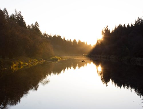
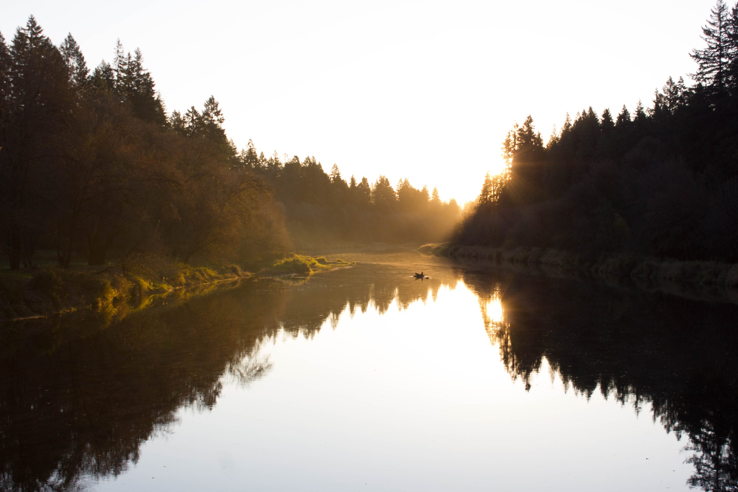
If you have a free day or two and would like to see one of the great areas in the Gifford Pinchot, the Trapper Creek Wilderness is an excellent choice. Finish your visit by stopping in Stevenson or Carson for some window shopping, food, and the Columbia River Gorge atmosphere. The Walking Man Brewery, Venus Cafe, and the Old School Grill (in Carson) are all great places to relax after some time in the woods.

