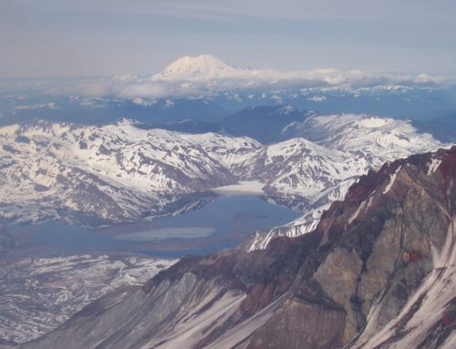
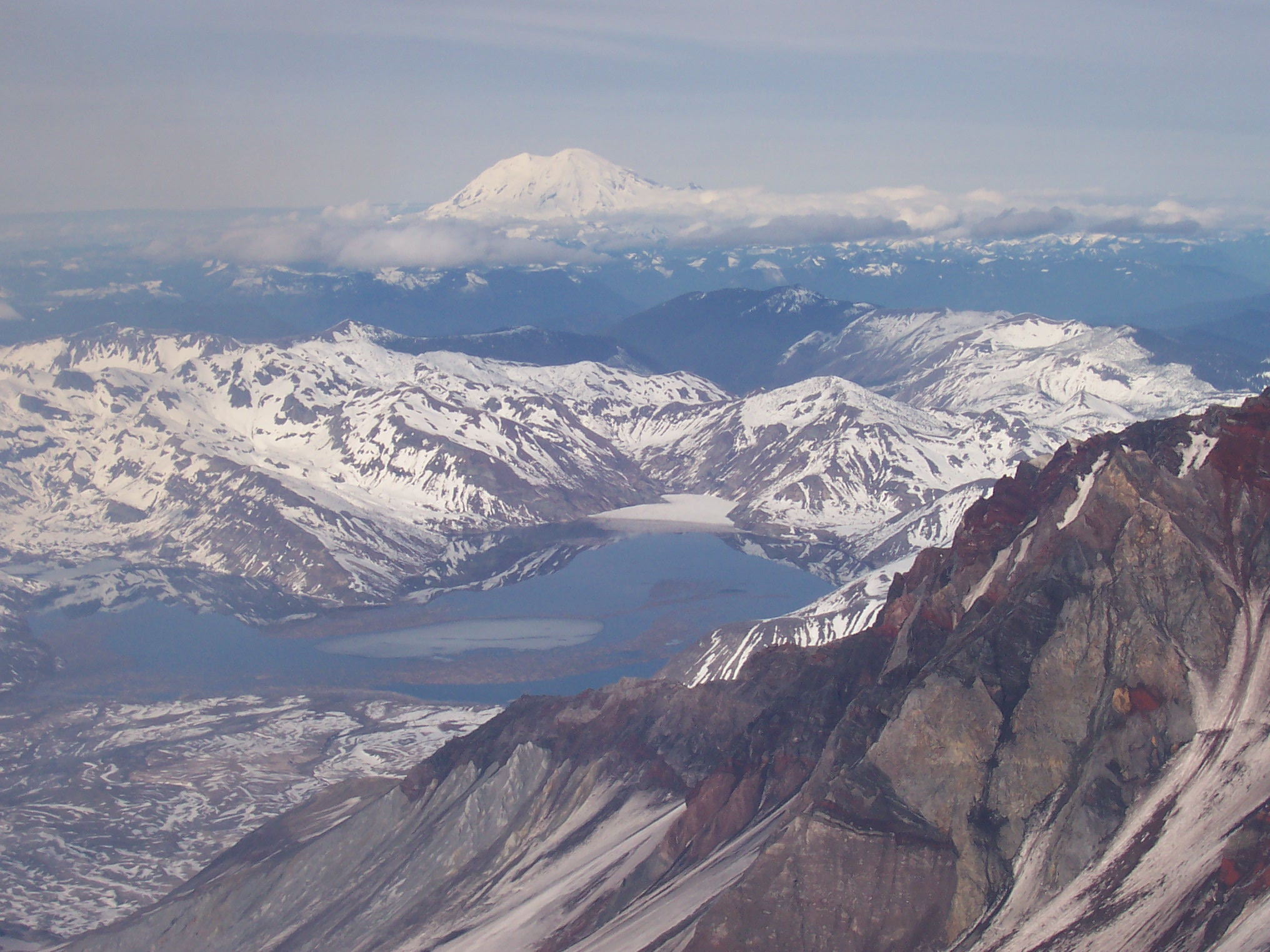
For the Lewis River, Merwin Dam is the final delay. Once captured by the Swift Reservoir, the waters of the Lewis begin an obedient, plodding march through three hydrological power projects until it can escape at Merwin Dam 74 miles downstream. Afterwards, the waters are free to find their own way to the Columbia River. Chronologically, Merwin was the first of the Lewis River power projects when it was constructed in 1931. Merwin Dam contributes 136 megawatts of electrical capacity towards the total 510 megawatts produced on the Lewis. In contrast to the earth-fill construction styles found at the Yale and Swift projects, Merwin Dam sports the classic concrete arch design that we often rightly consider feats of engineering. In fact, you can think of Merwin Dam as a scaled-down, local replica of Hoover Dam, which sits a thousand miles away on the Nevada-Arizona border. Merwin Dam creates Lake Merwin, a 4,040 acre reservoir. Sourced from headwaters high on Mt. Adams, Lake Merwin collects the drainage of not only the Lewis River Valley, but also a significant portion of the southern Gifford Pinchot. The total catchment area of Lake Merwin is an impressive 731 square miles.
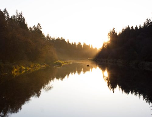
Lake Merwin, with three separate boat launches, and close proximity to Woodland, is a playground for large populations of boaters and fishermen. Particularly in the summer season, the restless, motor-powered recreation challenges any effort to feel the area’s natural rhythm. If your goal is to understand and experience the land, then it is wise to visit Merwin when silence and solitude permit the immersion required. I failed in this regard, and spent more time ducking wakes than watching ducks. While weekdays are an obvious choice, cooler weather and a sunrise start will also help.
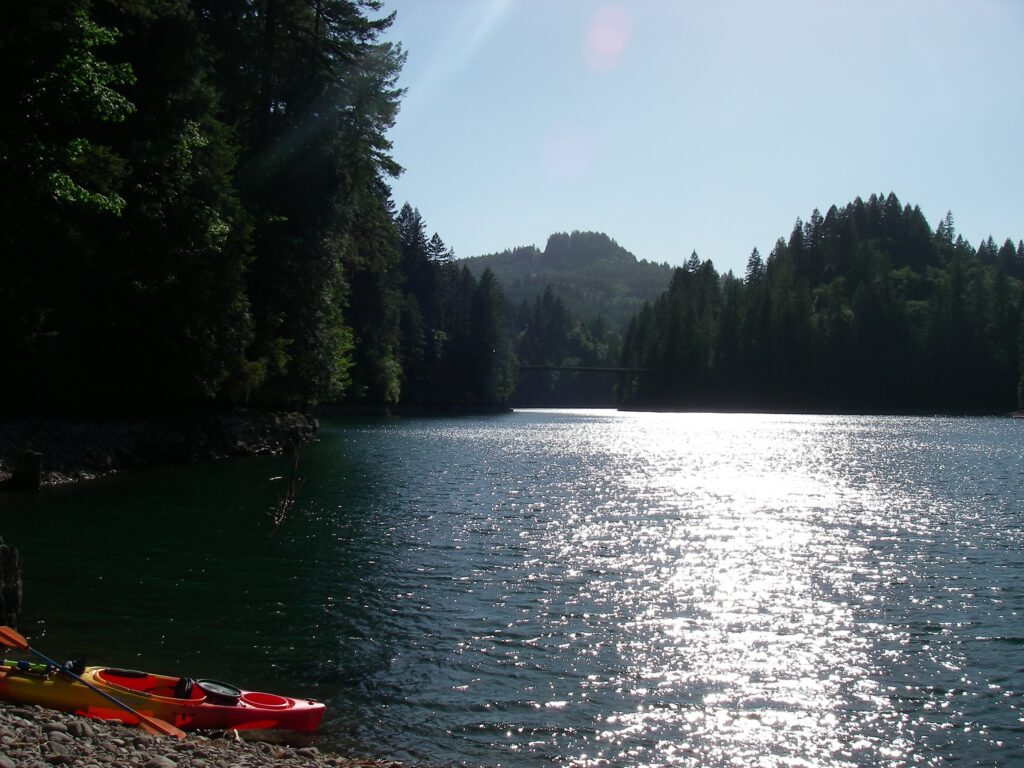
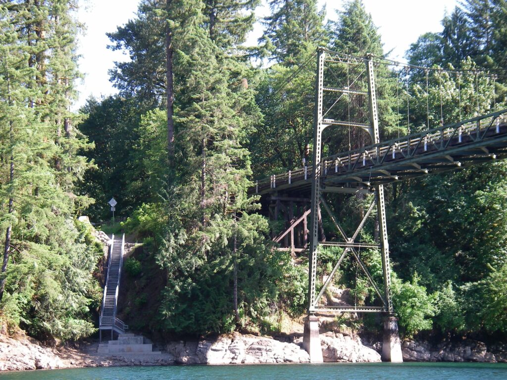
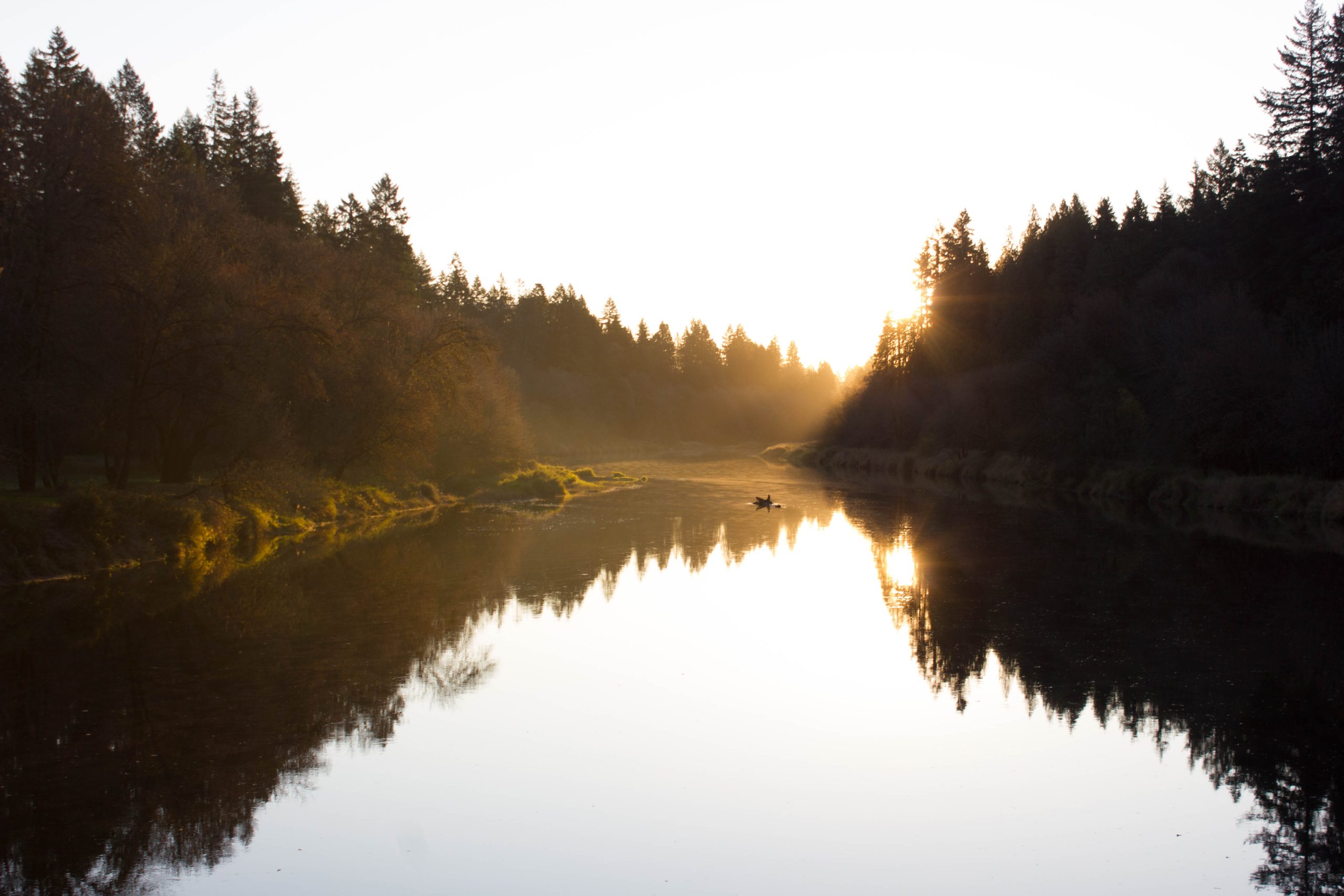
One bridge crosses the Lewis at Merwin. State Route 503 uses a single-lane, cable-suspension structure to cross the Lewis River near the eastern tail of Lake Merwin, known as the Green Bridge to locals. For most of my life I have crossed that bridge; waiting for opposing traffic to pass, noting the progress and regress of the eagles’ nest on its northern tower, and wondering what it would be like to paddle below. Recently, I finally found out. A newly graveled, apparently official, parking area sits on the southeastern corner of the Green Bridge. To my surprise, I also found a newly installed stairway leading from the parking area to the southern shore of the lake. From the parking area, it is a straightforward matter, albeit with a fair amount of effort, to portage a smaller kayak down to the water’s edge.
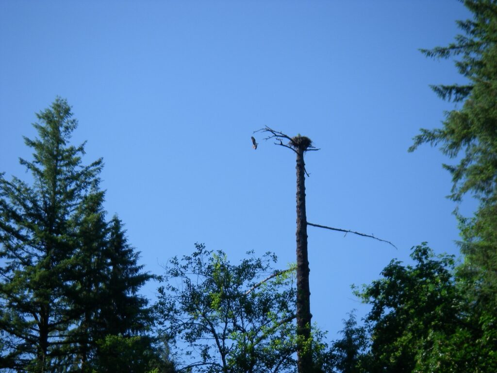
Pause after your put-in at the Green Bridge, no hurry here. Look north across the Lewis, and into the fir forest on the opposite shore. An osprey nest sits just uphill from the waterline. While I paused here for a few minutes, a pair of osprey physically competed with an eagle for the airspace above this small patch of Washington woods. Paddle slowly upstream towards Yale Dam. As you progress east, the river channel narrows. I was struck with the juxtaposition of rocky ridge spurs jutting into the flat, placid Lewis. These are the spurs that the elk prefer. I have spent many wet days pursuing cervidae prints up such leg-burning slopes. On Merwin, however, I simply floated past those slopes, and enjoyed the sun.

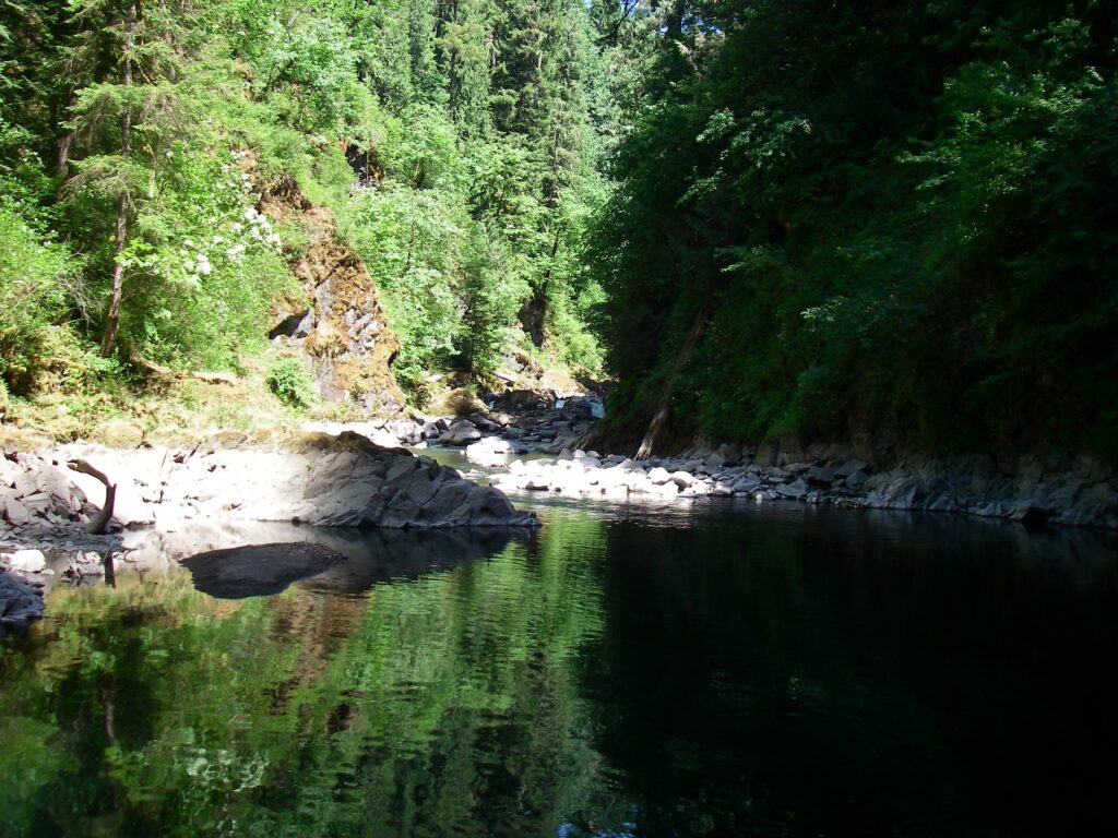
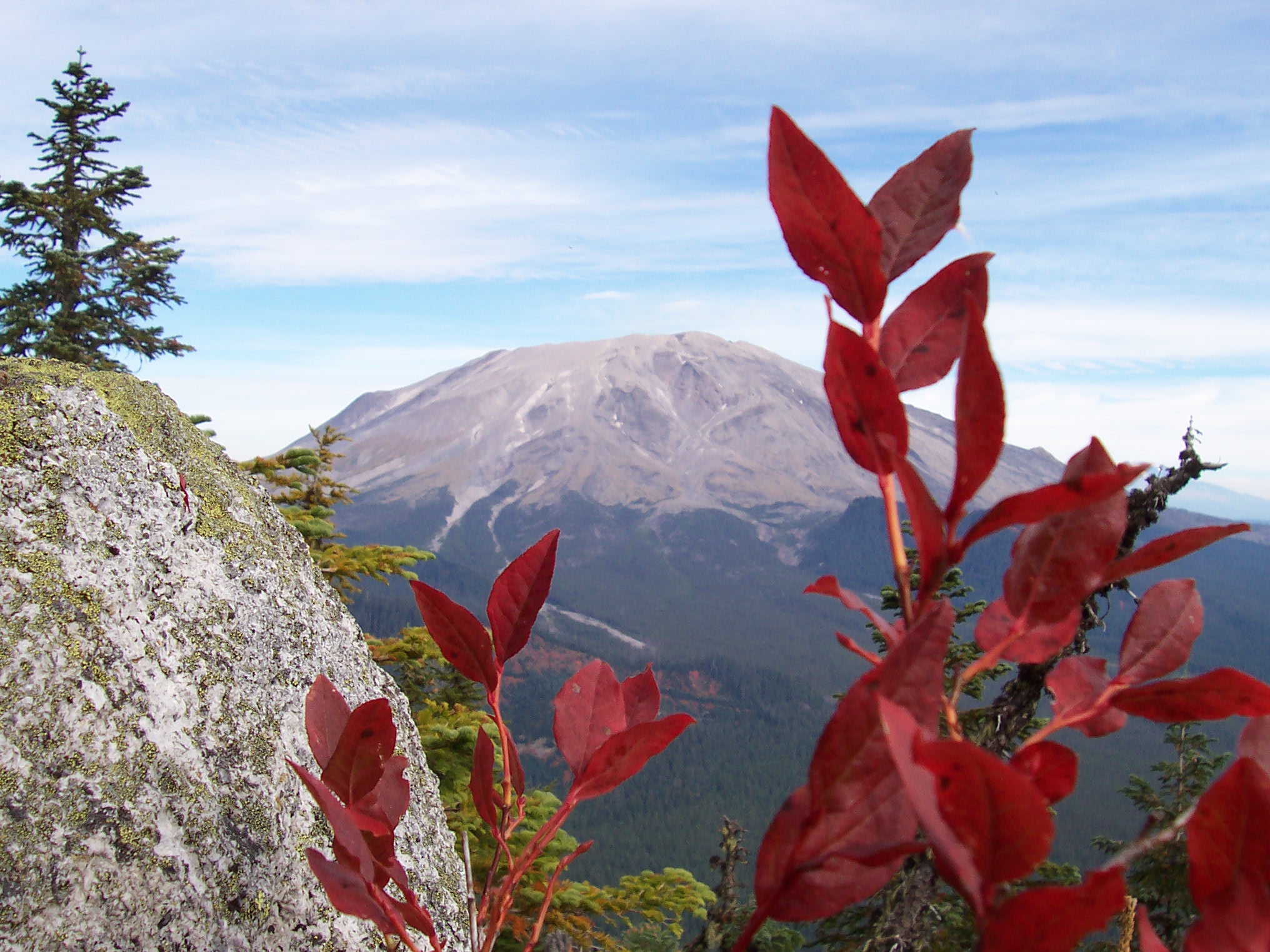
Continue east along the narrow section. On a sunny, spring day, an interesting scene will emerge; flat emerald water, short, craggy cliffs topped by fresh wildflowers, and a canopy of evergreen forest to filter the light. Merwin Dam’s impounded water creates an elevated, waterline perspective akin to floating past mountain ridges. The narrows end abruptly, at a float-barrier that prevents boaters from approaching Yale Dam. At the barrier, turn right and paddle on another half mile or so until you reach the mouth of Canyon Creek. As you swing southwest into Canyon Creek, note the massive, monolithic rocky slab that forms the creek’s northern shore, dividing Canyon Creek from the Lewis River. The Canyon Creek side of the slab slopes uniformly down to an abrupt intersection with the water line. When viewed from its eastern end, the slab is a great illustration of uplift geology.


Canyon Creek is a significant watershed in its own right. Originating at Zig-Zag Lake, just west of Cougar Rock in the middle of the Gifford Pinchot, Canyon Creek flows past many high peaks in the south Washington Cascades. As with Siouxon Creek, the Lewis River, and the Wind River, Canyon Creek is one of the dominate features of the Gifford Pinchot. As you paddle up the Canyon Creek inlet, watch rapids, river rock, and steep slopes replace placid reservoir water. In a few hundred yards you will experience the transition from a tamed man-made lake to an unkept, rough mountain river.
Lake Merwin is the final stage in civilization’s pacification of the Lewis River. You can still experience the original pulse of our land before man, however. With patience and a different perspective, the inspired paddler will find that Merwin Reservoir is yet another opportunity to explore the character of our local river.

