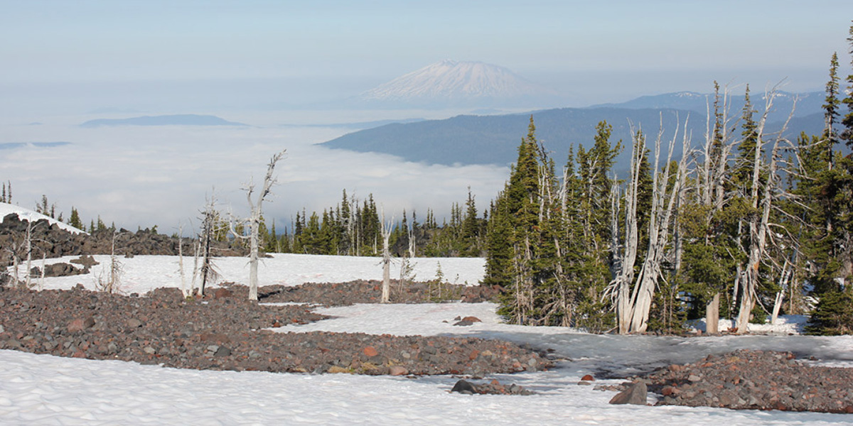
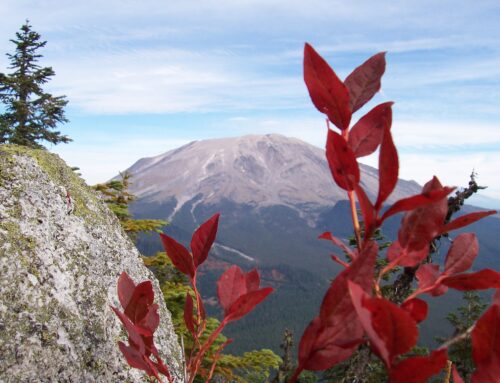
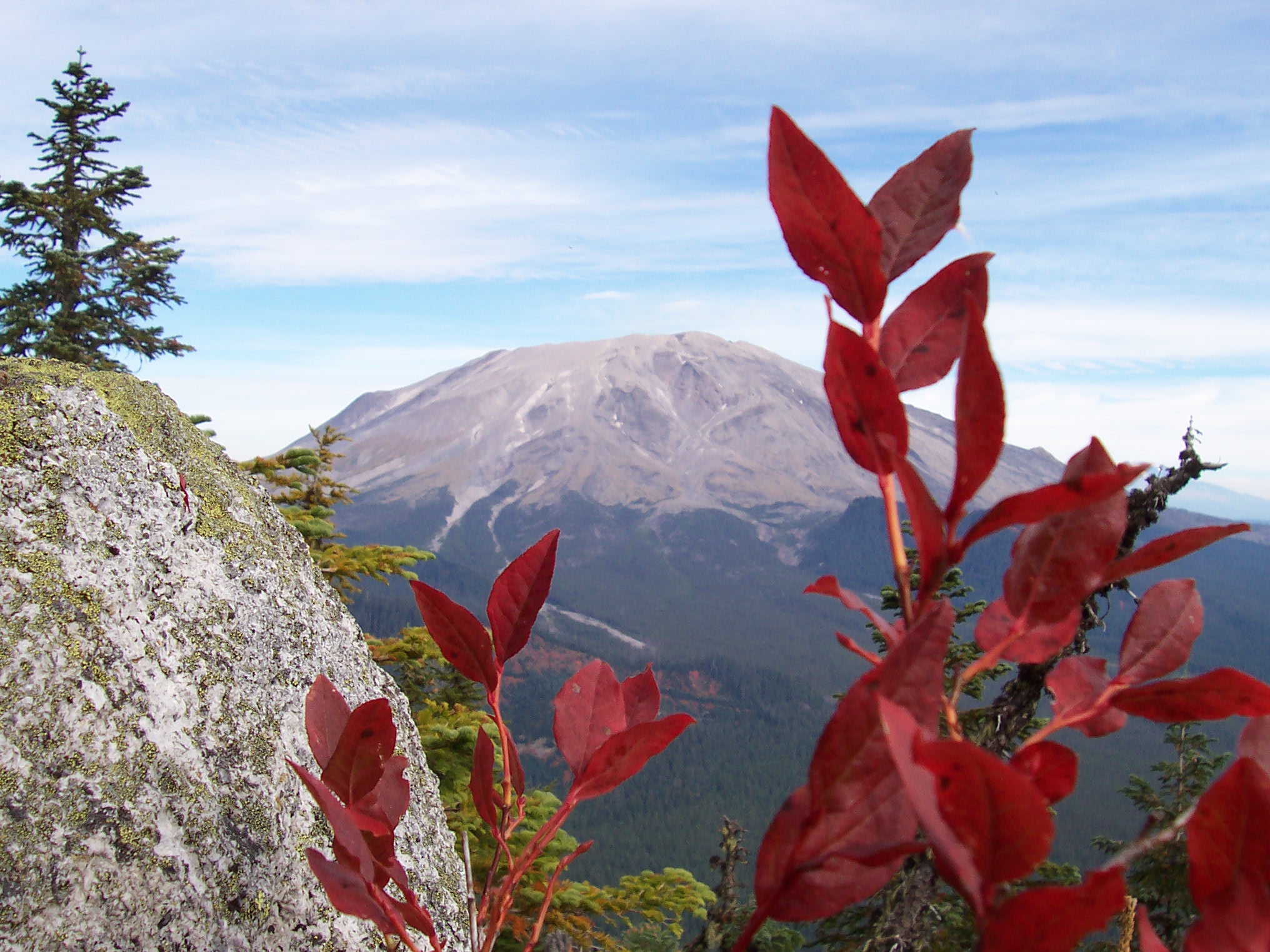
The almost sweet sharpness of ice slowly replaces the minty aroma of fir as I pass the last trees. It is silent, save for short bursts of breeze and a slight, invisible trickle of meltwater under the packed snow. I face south, confronting the mass of Mt. Adams north face. To my right, the Lewis River Valley opens into the distance. I am seven thousand feet above Paradise, where the East and the North Meet. I have arrived at the Origins.
All rivers originate in some high place. A statement so simple and obvious appears tautological. It is a simple statement, but do you know the answer to its implied question? That is, where does our Lewis River begin? From the highest point in the land, of course. And for the Lewis River watershed, that highest point is Mt. Adams.
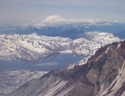
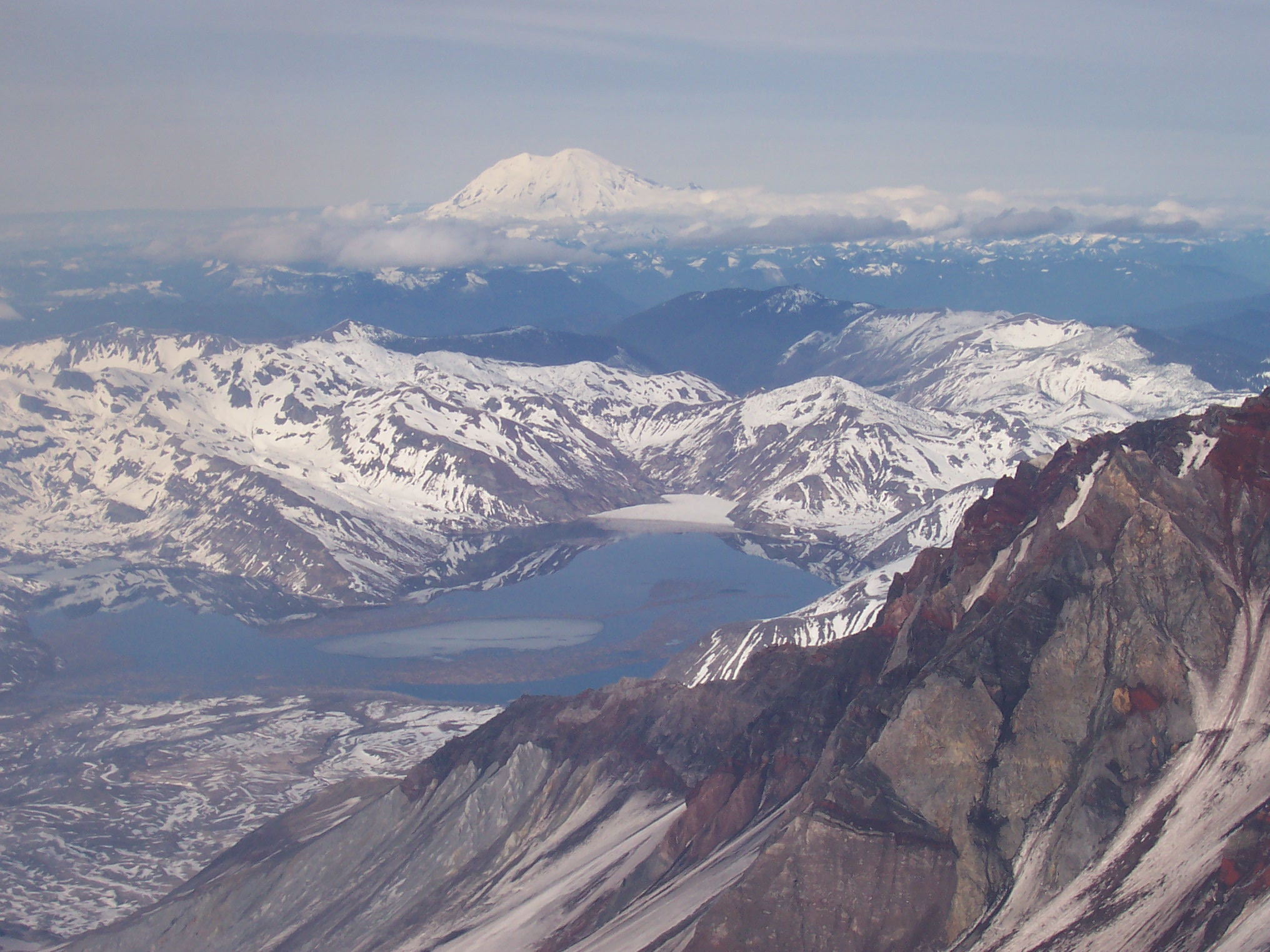
The Adams Glacier resides on the northwest slope of Mt. Adams. Visually, this glacier is classic glacial perfection. Pouring down from the summit, the glacier flows over the steep north side of the mountain, with deep, splitting crevasses visible even miles away. Although to humans glaciers appear as monolithic blocks of ice, they are actually little different from rivers in that they are flowing water, simply in ice form.
Glaciers form over time when average yearly snowfall exceeds snow melt in a given location. As snow piles up year after year, its accumulated weight eventually crushes the lower layers into ice. When enough snow and ice pile up, the mass weighs too much for its rocky purchase point, and the snowfield begins to slide downhill. Once movement begins, a glacier is born. So, throughout a glacier’s lifespan, snow piles up at it’s head and, over time, is crushed into ice which flows down the mountain slope and eventually melts back into water at the glacier’s foot.
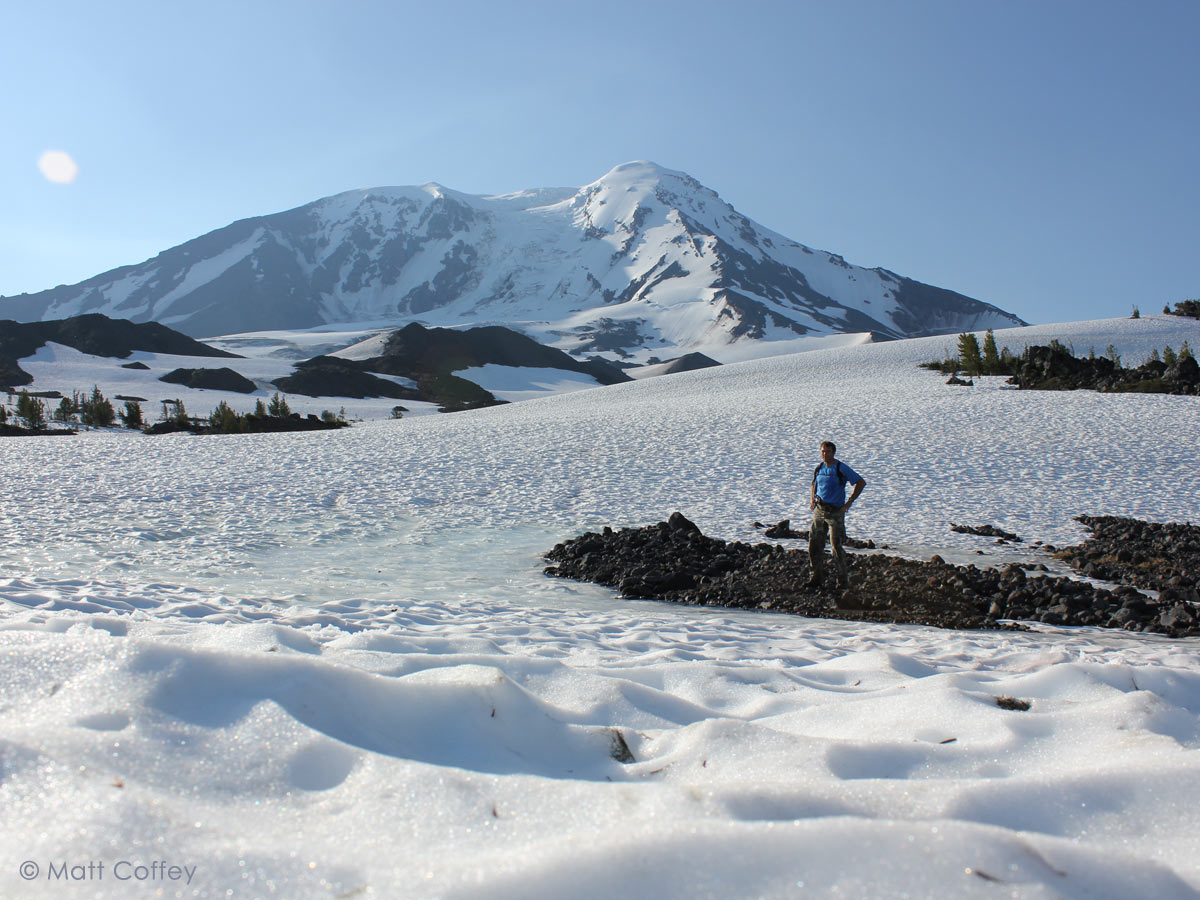 The Lewis River begins at 7,200 feet elevation, at the terminus of the Adam’s Glacier. The glacier’s foot covers a swath of Mt. Adams that corresponds to the 10 to 11 o’clock section of a watch face. Barely trickling out of her glacial womb, the Lewis emerges from the Adams Glacier where the watch face would read 10.
Up on Mt. Adams, the Lewis River is indistinguishable from the dozens of other small streams flowing away from the mountain’s snowfields. Just as with small children, it is impossible to tell what each of these small rivulets will become in adulthood. A few hundred yards to the northeast, an identical stream, Adams Creek, emerges from the Adams Glacier. It is a carbon copy of the Lewis River. By a fluke of topography, however, Adams Creek flows north instead of west, and after a too-brief life it donates its water to the Cispus River. That same topography, a minor ridgeline among a hundred others on Mt. Adams, guides the Lewis River west into what will become a major valley. That valley, one of the salient features of the southwest Cascades, runs all the way to the Columbia, protecting the integrity of the Lewis, and preserving its status as an autonomous river as dozens of smaller tributaries pay respects along the way.
The Lewis River enjoys an infancy quite typical of alpine streams. The first two and a half miles of its life takes place in a mountainous nursery where rivers learn their trade. Flowing through ash, pumice and small rock, the Lewis meanders along. Its flow alternates between braided and unified streams, a foreshadowing of the braided channel work it will perform at times later in life. An occasional lava or outcropping boulder provides the toddling Lewis the opportunity to practice the leaps and falls it will perform with distinction downstream at the famed Upper, Middle and Lower falls. The bare lava and soft ashy sand of Mt. Adam’s northwestern flank provide the perfect training ground for a young river.
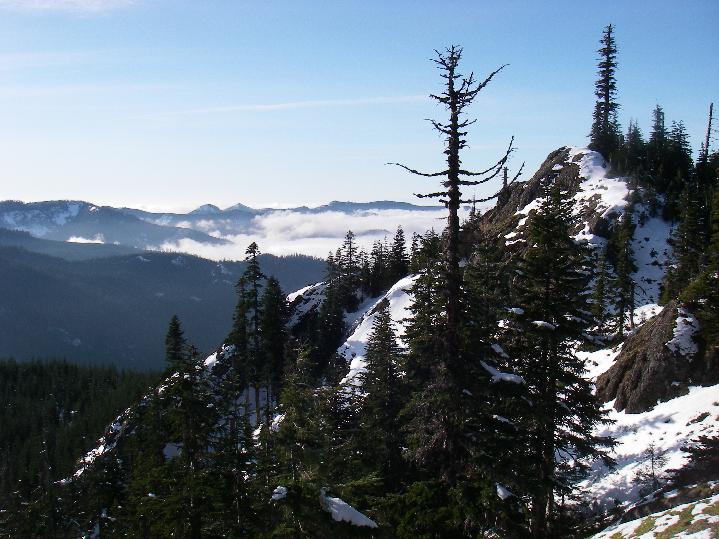
 Reaching the headwaters of the Lewis takes some work. The best foot access is via the Divide trail, which runs from the US Forest Service Road 2329, near Takhlakh Lake, to the Pacific Crest Scenic Trail (PCT) on the northwest flank of Mt. Adams. The Divide Trail follows Adams Creek up the mountain. When you reach the PCT, Adams Creek is on your left and the Lewis River is on your right. If you desire, you can follow the baby Lewis up slope to the snowfields below the Adams Glacier. From these headwaters, looking west, one can trace the route of the Lewis, following the valley it uses in its journey to the Columbia River.
By its three mile mark, the young Lewis is ready to take on life. Trees, grass, birds and animal life replace bare rock, snow, and sand. The emergence of topsoil allows plants, and thus animals, to take advantage of the water the Lewis provides. Dense green forests cover the river’s course as it makes its way down old lava flows. The Lewis makes its debut performance, a fitting waterfall, when it reaches mile 5.5.
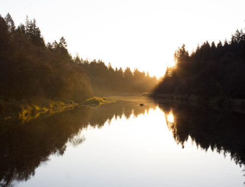
The first easy road access to the Lewis is at Twin falls. The falls are a unique set of double waterfalls, one right after the other. The falls occur on Twin Falls Creek, just before it empties into the Lewis. Despite the falls modest height they are very picturesque. Road access is just off of the US Forest Service 90 road, approximately 45 miles east of Cougar. Expect a two to three hour drive from Woodland. An established campground sits adjacent to the Twin Falls. Some sites are directly on the water.
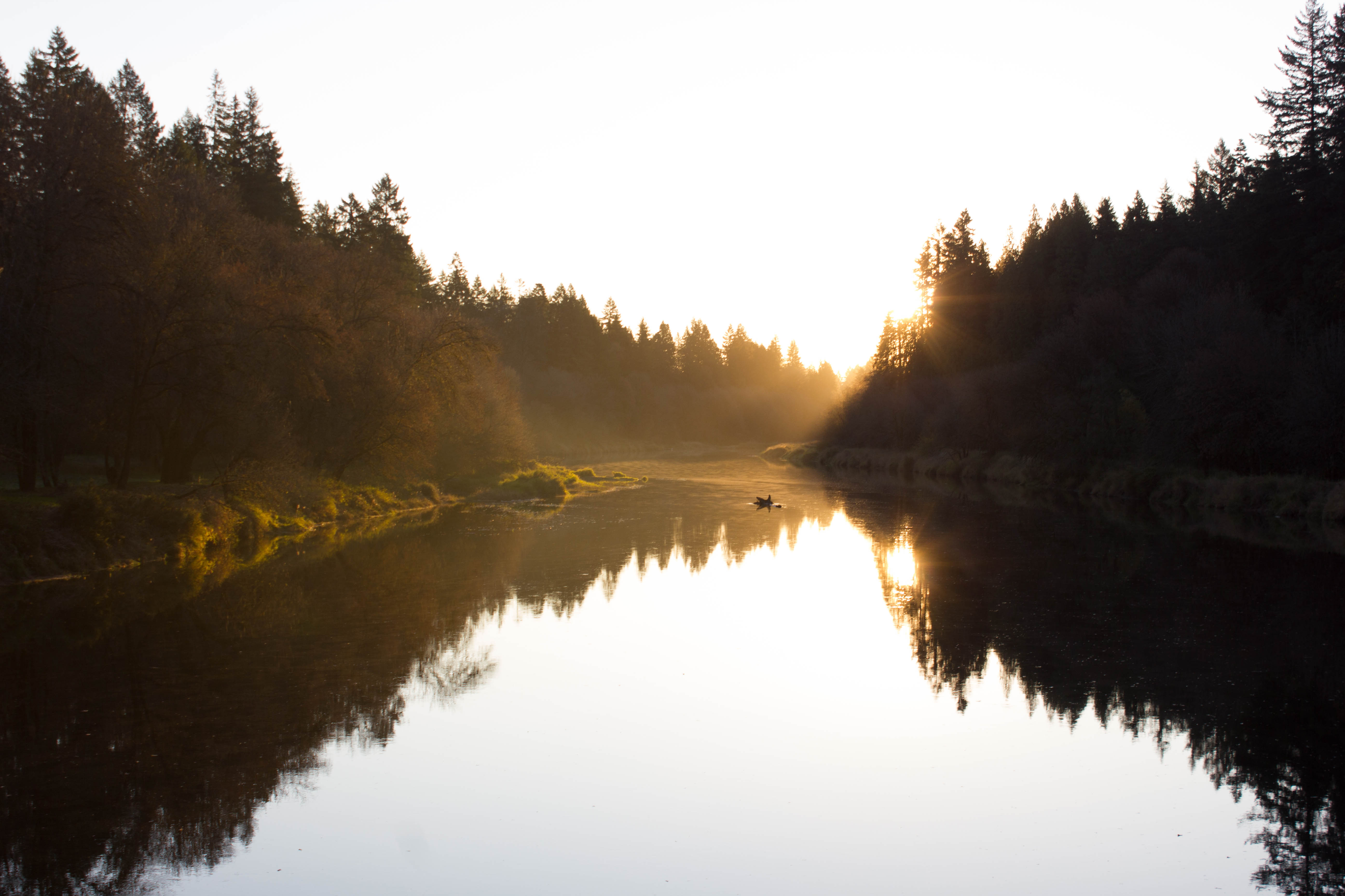
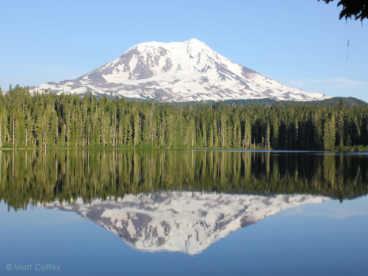 The Lewis River is a defining feature of southwest Washington. Seeing the origins of our river helps us appreciate the water’s journey to reach our fertile lowlands. Embracing our land means understanding it. Reaching the origin of the Lewis River is a step in that process.

